This text is part of Parks’ Historical Signs Project and can be found posted within the park.
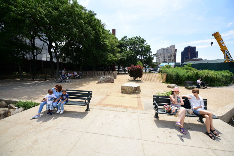
Grand Ferry Park was a ferry landing that served the burgeoning populace of Williamsburg before it became part of Brooklyn. It is named for the 19th century Grand Street Ferry, which once carried farm goods and passengers across the East River to Manhattan. In 1802, Richard Woodhull, spurred by the idea of creating a residential suburb of Manhattan, began a ferry service from present-day Metropolitan Avenue in Brooklyn to Corlear’s Hook on the Lower East Side of Manhattan. Woodhull purchased 13 acres of land surrounding the ferry landing with a plan to build homes and, in 1810, named the area ‘Williamsburgh’ after Colonel Jonathan Williams (1750-1815), the original surveyor of the site.
In 1806 Woodhull went bankrupt, but the idea of Williamsburgh persisted; Noah Waterbury built the neighborhood’s first distillery in 1819, and David Dunham, called the “Father of Williamsburgh,” began operating a steam ferry in 1818
Show Disclaimer
This map is designed to represent parks as they are used by the public. It should not be used to represent the legal boundaries of property under Parks jurisdiction. If you would like to view all City property under the jurisdiction of NYC Parks, please visit NYC OpenData.
Facilities


Check out your park's Vital Signs
Clean & Safe
No recent capital investment.
Green & Resilient
39
Mapped Trees
No natural areas present at this site.
Empowered & Engaged Users
No recent or upcoming events.
No active volunteer groups.
Share your feedback or learn more about how this park is part of a
Vital Park System![]()
 |


%7Cutmcsr%3D(direct)%7Cutmcmd%3D(none)%3B%2B__utmv%3D25577303.-%3B)