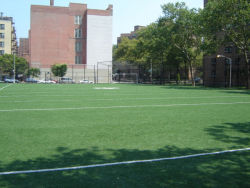
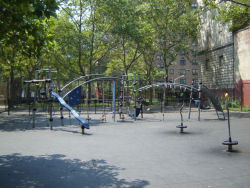
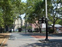
This large, unadorned park pays tribute to two generations of New Yorkers whose work, directly and indirectly, helped bring health and recreation amenities to the masses. By the late nineteenth century, New York City’s population had reached 1.4 million, and was growing rapidly. New immigrants were forced into congested tenement districts where overcrowding threatened their health and welfare. Epidemics of cholera and typhoid raged through these downtown slums in the 1880s and 1890s, owing mainly to the lack of basic sanitation facilities such as toilets and baths. At the turn of the century, these overcrowded neighborhoods averaged one bathtub for every 79 families, while on some blocks the proportion was a staggering one bathtub for every 440 families.
Show Disclaimer
Check out your park's Vital Signs
Clean & Safe
Green & Resilient
Empowered & Engaged Users
Share your feedback or learn more about how this park is part of a
Vital Park System


