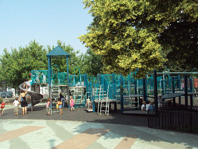
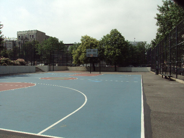
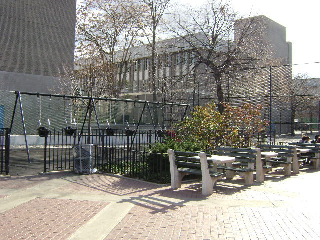
William Sheridan Playground
Wythe Ave. bet. Grand St. and S. 1 St.
Brooklyn
Directions via Google Maps
This text is part of Parks’ Historical Signs Project and can be found posted within the park.
What was here before?
In 1638 Willem Kieft “purchased" a large area between Wallabout Bay and Newtown Creek from the Canarsee, who first inhabited the land. While the Europeans saw these agreements as transfer of ownership, the Canarsee understood them as a lease agreement or joint tenancy. Troubled relationships between the two factions slowed settlement for decades.
Show Disclaimer
This map is designed to represent parks as they are used by the public. It should not be used to represent the legal boundaries of property under Parks jurisdiction. If you would like to view all City property under the jurisdiction of NYC Parks, please visit NYC OpenData.


Check out your park's Vital Signs
Clean & Safe
Green & Resilient
28
Mapped Trees
No natural areas present at this site.
Empowered & Engaged Users
No recent or upcoming events.
Share your feedback or learn more about how this park is part of a
Vital Park System![]()
 |

%7Cutmcsr%3D(direct)%7Cutmcmd%3D(none)%3B%2B__utmv%3D15462465.-%3B)