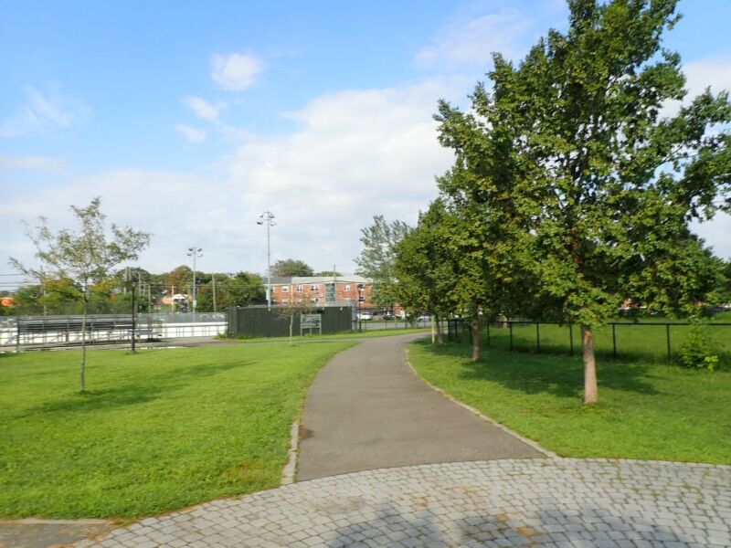
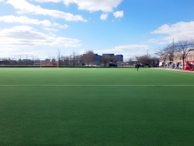
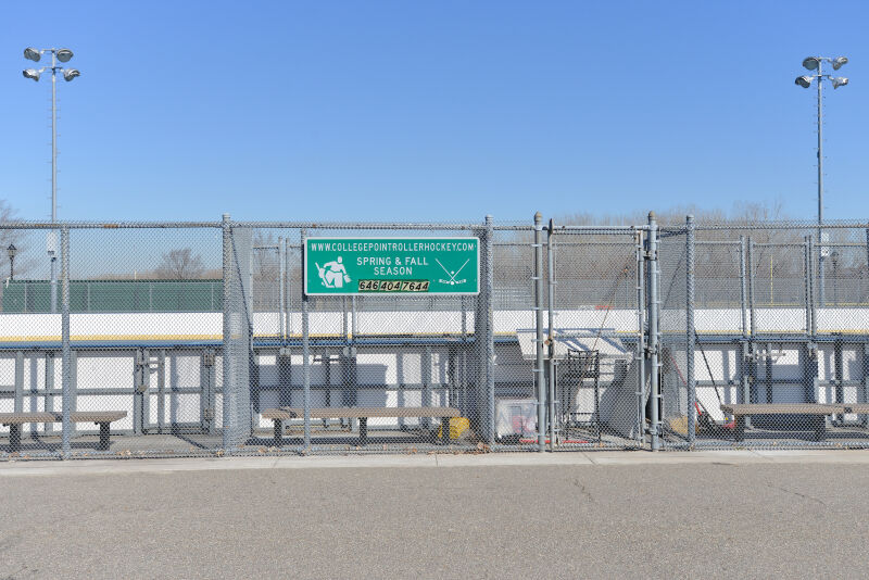
College Point Fields, a previously undeveloped lot, is a source of pride for neighborhood residents who participate in organized sports leagues.
The surrounding community was first settled in 1645 when Dutch Governor Willem Kieft (1597-1647) purchased the parcel of land and granted use to Dutch and English families. College Point takes its name from St. Paul’s College, which was founded in 1838 and closed in 1850.
Until the mid-twentieth century, College Point was geographically isolated from the rest of Queens, with only four roads crossing the Mill Creek wetlands to the peninsular neighborhood. To the east of College Point Fields, Flushing Airport operated atop the marshland between 1927 and 1984. Throughout its existence the airport faced opposition due noise complaints, limited clientele, inadequate infrastructure, accidents, and flooding on the runways.
Show Disclaimer
Facilities


Check out your park's Vital Signs
Clean & Safe
Green & Resilient
Empowered & Engaged Users
Share your feedback or learn more about how this park is part of a
Vital Park System![]()


%7Cutmcsr%3D(direct)%7Cutmcmd%3D(none)%3B%2B__utmv%3D76480834.-%3B)