The area surrounding this community was first settled in 1645 when Dutch Governor Willem Kieft (1597-1647) purchased the parcel of land and granted use to Dutch and English families. Governor Kieft allocated the 900 acres that currently constitute College Point to the Lawrence family, but in 1788, William Lawrence began to sell his land to pay off debts. College Point takes its name from St. Paul’s College, founded here in 1838.
One of the most notable later settlers in the College Point district was Reverend William A. Muhlenberg (1796-1877), who purchased all the land on the tip of the Lawrence peninsula. Reverend Muhlenberg attempted to meld the differing viewpoints of Protestantism and Catholicism within the Evangelical Church, an effort that culminated in the formation of “St. Johnland,” a utopian industrial community on nearby Long Island.
Show Disclaimer
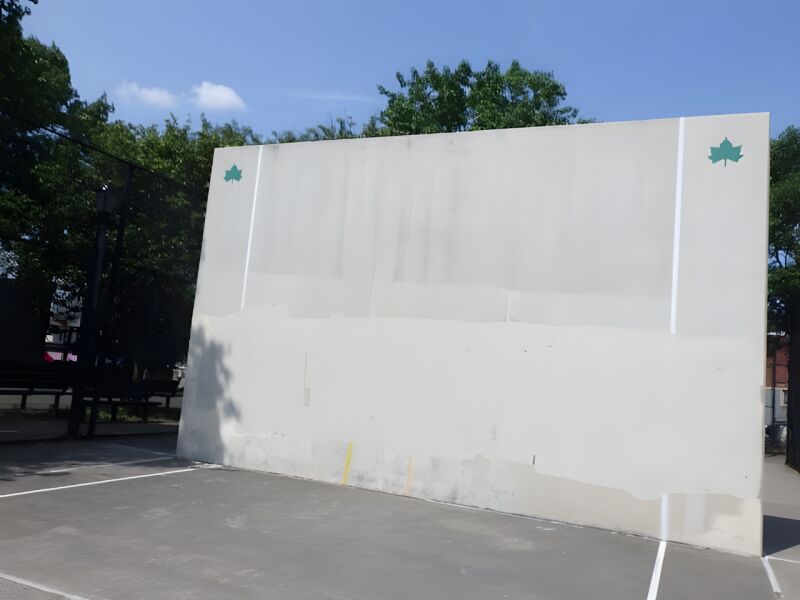
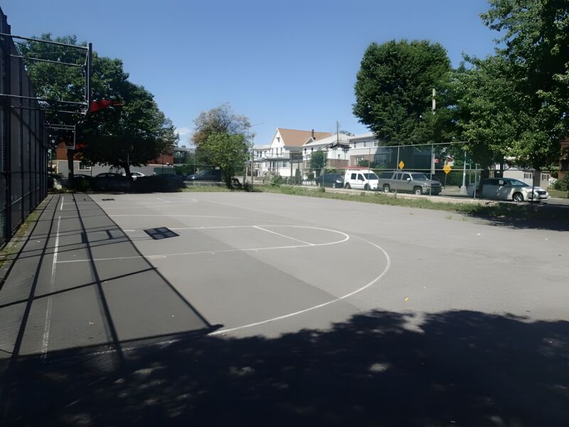
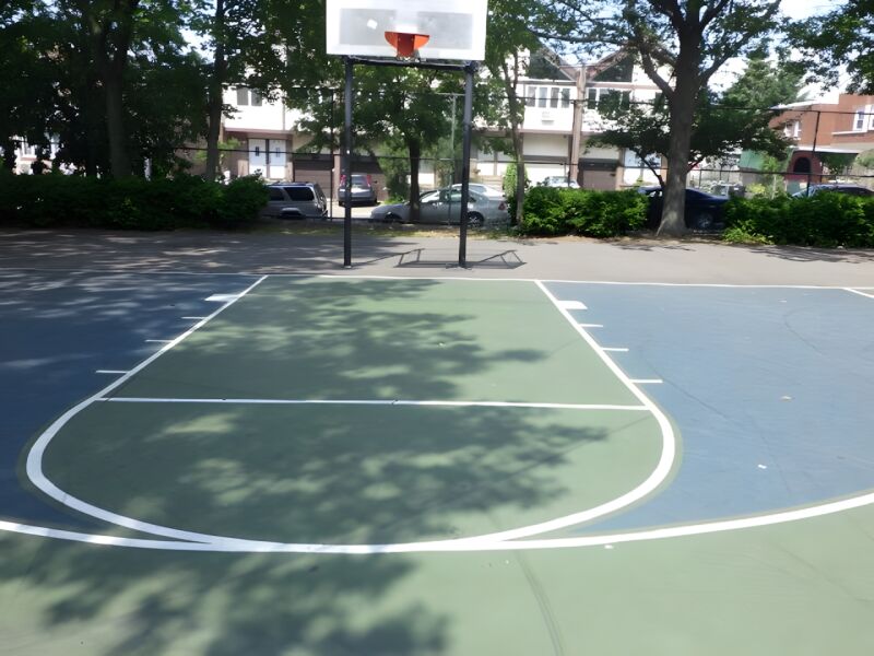
Facilities


Check out your park's Vital Signs
Clean & Safe
Green & Resilient
Empowered & Engaged Users
Share your feedback or learn more about how this park is part of a
Vital Park System![]()
 |

%7Cutmcsr%3D(direct)%7Cutmcmd%3D(none)%3B%2B__utmv%3D51730836.-%3B)