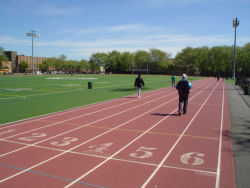
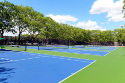
What was here before?
The southern, waterfront edge of what is now East New York was originally inhabited by the Jameco (or Yamecah), of the Algonquin nation, and was the fishing grounds for the Canarsie and Rockaway peoples. Dutch farmers founded the Town of New Lots in the 17th century, which displaced the native population. Early Dutch farming families owned this land for the next couple of centuries. By the late 1800s, this property was split between the Linington, Lott Wyckoff, and Rapelje heirs before it was ultimately sold off.
Show Disclaimer
Facilities
Check out your park's Vital Signs
Clean & Safe
Green & Resilient
Empowered & Engaged Users
Share your feedback or learn more about how this park is part of a
Vital Park System


