Breukelen Ballfields
Louisiana Ave., Stanley Ave., Flatlands Ave., Williams Ave.
Brooklyn
Directions via Google Maps
Breukelen Ballfields, and the neighboring Breukelen Houses, get their name from the Dutch spelling of Brooklyn. Breukelen is a small city in the Netherlands, and when Dutch pioneers first settled on Long Island (near modern-day Brooklyn Heights), they named their village after the town. The name was soon anglicized, and this park’s name serves as a reminder of our city’s Dutch origins.
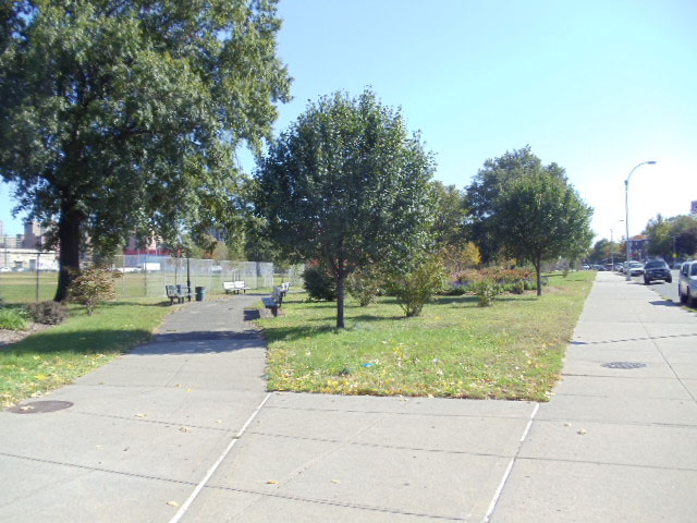
Before this area of East New York was developed in the mid-20th century, the site that is now Breukelen Ballfields was a marshy extension of nearby Fresh Creek. Development largely stopped to the west at 105th Street and to the north at Stanley Avenue. The city acquired the property in 1950 for public housing, which was completed in 1952. This park was constructed at the same time, to serve the neighborhood’s new residents. The New York City Housing Authority leased the site to NYC Parks for free starting in 1957.
Show Disclaimer
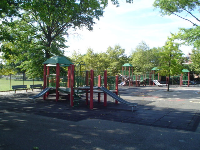
Facilities


Check out your park's Vital Signs
Clean & Safe
Green & Resilient
Empowered & Engaged Users
Share your feedback or learn more about how this park is part of a
Vital Park System![]()
 |


%7Cutmcsr%3D(direct)%7Cutmcmd%3D(none)%3B%2B__utmv%3D34460027.-%3B)