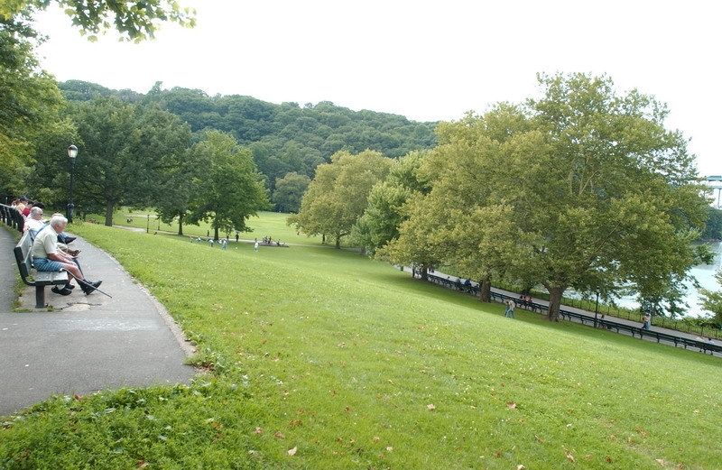
Inwood Hill Park
The Daily Plant : Wednesday, March 12, 2003
GEOLOGICAL MANIFEST DESTINY
Today New York City boasts a population of more than 8 million people and stands as one of the greatest cities in the world. You probably know that this success did not happen over night, and that New York wasn’t "built in a day," but you might not have realized that the process began more than a billion years ago. New York City benefits from several specific geological phenomena that for generations has made this one of the best places on earth to build a city. From fish and farms to subways and skyscrapers, New York has always had the winning hand. This article will guide you through the first 500 million years of New York natural history and tell you which parks’ topography bare the tale.
The story begins 1.1 billion years ago in the pre-Cambrian era with Fordham gneiss, one of the oldest rock formations in the world. At that time the continent of North America lay in a narrow basin beneath an ancient, shallow sea. Sand and silt had accumulated in the basin, forming sedimentary rock. During a continental shift, an unidentified landmass collided with North America, thrusting the sedimentary rock upward and forming a mountain range. This collision is known as the Grenville Orogeny. (At that time life on earth consisted of algae and bacteria; multi-celled organisms were beginning to evolve – and they were buying up Manhattan real estate.) The rock can be easily seen from Inwood Hill Park by looking across Spuyten Duyvil Creek to the Bronx neighborhood for which it was named.
The impact of the collision and the high pressures involved caused the sedimentary rock to recrystallize, forming the black-and-white banded, metamorphic rock we see today. The contorted banding pattern of these rocks is a testament to the immense geologic force of the shifting plates that formed the gneiss. In the Bronx, gneiss can be observed running along the surface of the earth in two ridges; one along the west side in Riverdale, and the other along the east side in Fordham, Tremont, University Heights and north into Van Cortlandt Park. Gneiss is also found on Roosevelt Island, emerging from the East River, and in Long Island City, Queens.
Over the next hundred million years, passing glaciers and erosion by wind and water wore away the mountain ranges. A continental collision between what is now the East Coast of North America and the floor of the Atlantic Ocean pushed a layer of shale–a sedimentary rock composed of clay and sand–roughly nine miles into the molten core of the earth. There, the intense heat and pressure transformed the shale into a conglomeration of minerals, including quartz, feldspar, hornblende, and mica. The resulting metamorphic rock is known as schist. Subsequent continental shifts pushed the schist back to the surface. In some areas the schist has even been exposed. Schist can be recognized by its glittering appearance, which is caused by flecks of white mica within the rock. Manhattan schist was formed about 450 million years ago, making it the second oldest of New York City’s bedrocks.
The massive rock formations that define northern Manhattan’s parks from Inwood to Morningside similarly define the skyline of the lower two thirds of Manhattan. Schist lies at various depths, from 18 feet below the surface in Times Square to 260 feet below in Greenwich Village. Where bedrock is far below the surface, skyscrapers are not practical because it is too difficult to reach the schist that provides structural stability and support. Consequently, there are few tall buildings in Greenwich Village, but skyscrapers stand in dense clusters in midtown where schist lies close to the surface. New York City continues to reach towering heights because of this strong foundation.
Stay tuned for Part II of New York’s Geological Manifest Destiny…
Written by John Mattera
QUOTATION FOR THE DAY
"Freedom of the press is guaranteed only to those who own one."
A.J. Liebling
(1904-1963)


%7Cutmcsr%3D(direct)%7Cutmcmd%3D(none)%3B%2B__utmv%3D45833140.-%3B)