Powell's Cove Park
11 Ave. bet. 130 St., Powell's Cove Blvd. and 138 Pl., 9 Ave.
Queens
Directions via Google Maps
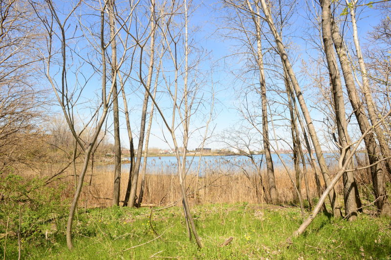
Powell’s Cove, an environmental waterfront park completed in 1999, is a bay with sizable wetlands and filled, undeveloped uplands in the College Point section of Queens. Probably named for the Powell family, who owned land in the vicinity as late as 1873, this parkland was envisaged as a waterfront park to protect tidal wetlands and the natural environment of the marshland region.
College Point, originally the Tues Neck territory of the Matinecoc tribe, was first acquired by English settlers in the 1640s. The area remained the preserve of large landowners, and in 1838 Reverend William Augustus Muhlenberg, rector of St. George Episcopal Church in Flushing, founded St. Paul’s College in the area. In the 1850s a German immigrant named Conrad Poppenhusen (1818-1883) arrived in College Point and changed the face of the neighborhood with his introduction of a rubber factory.
Show Disclaimer

Check out your park's Vital Signs
Clean & Safe
Green & Resilient
Empowered & Engaged Users
Share your feedback or learn more about how this park is part of a
Vital Park System![]()
 |
%7Cutmcsr%3D(direct)%7Cutmcmd%3D(none)%3B%2B__utmv%3D38701442.-%3B)