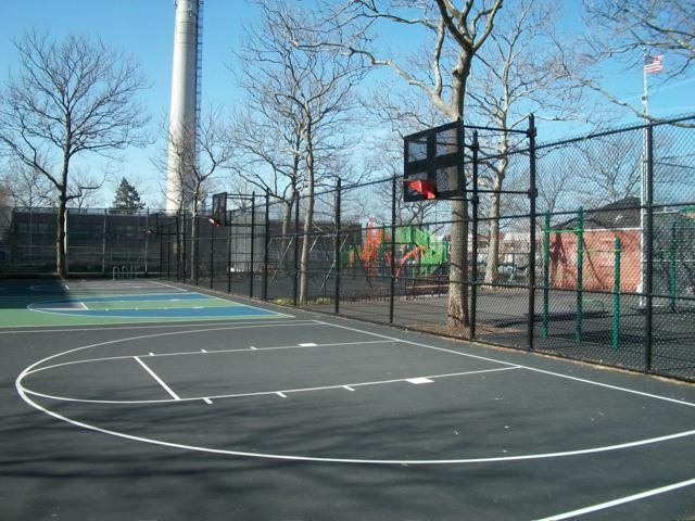
This playground takes its name from the adjacent Bayview Houses, which overlooks historic Jamaica Bay. The development is bordered on three sides by Canarsie Park and on the fourth by Seaview Avenue.
The name for Canarsie Park comes from the Canarsie (or Canarsee), who lived in this area. They called this land Keskachauge (or Kestateuw), but Dutch settlers renamed the area New Amersfoort in the 1630s. In 1675, Jan Martense Schenck, a Dutch immigrant, built a house in the area of New Amersfoort, on Mill Island, within the current boundaries of the park. The original house was simple; it had two rooms and was 20 feet by 40 feet. The family later expanded the house into an L-shaped plan containing eleven rooms. When the British took control of the territory during the American Revolution, they renamed New Amersfoort the Flatlands.
Show Disclaimer


Highlights

Check out your park's Vital Signs
Clean & Safe
Green & Resilient
Empowered & Engaged Users
Share your feedback or learn more about how this park is part of a
Vital Park System![]()
 |


%7Cutmcsr%3D(direct)%7Cutmcmd%3D(none)%3B%2B__utmv%3D60125247.-%3B)