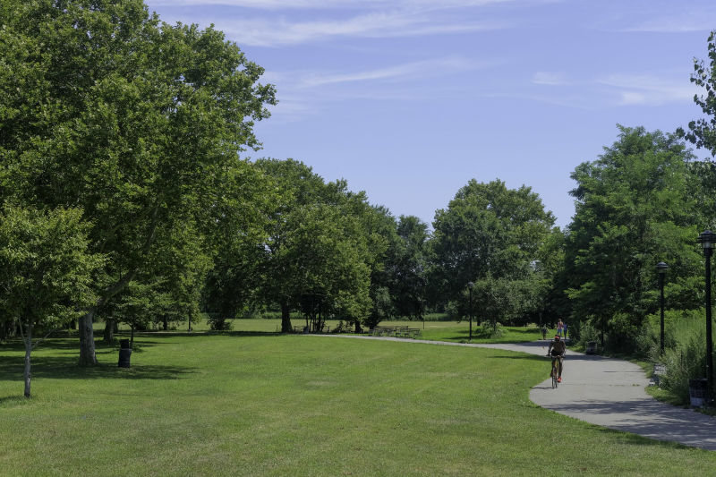
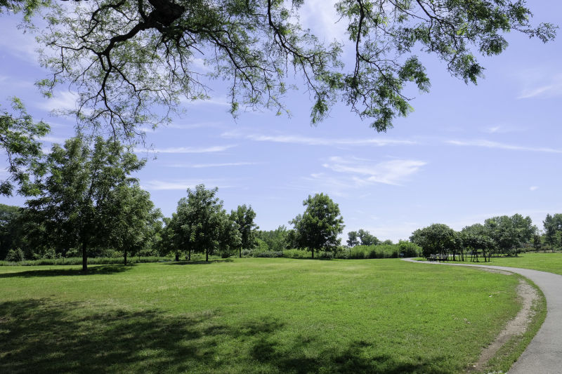
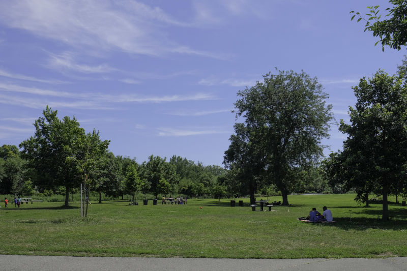
Canarsie Park
Belt Pkwy, Seaview Ave Btw: Paerdegat Basin, E 93 S, E 102 St, Fresh Creek Basin
Brooklyn
Directions via Google Maps
What was here before?
The Canarsie resided here for thousands of years and called the area now known as the Flatlands, Keskateuw. Their planting lands were located north of this site, extending to Avenue J.
With the arrival of the Dutch, fighting and disease killed much of the local Canarsie population. Settlers documented that the Canarsie traded and sold them the land. This site was originally deeded to Samuel Spicer by the Canarsie in 1664 who in turn sold it to Elbert Elbertse Stoothoff. In 1675 it was bought by Jan Martense Schenck (1640-1689), who arrived from Holland and settled in Breuckelen (Brooklyn) in 1650. He amassed a large tract of land that remained in his family for generations.
Show Disclaimer
Facilities


Check out your park's Vital Signs
Clean & Safe
Green & Resilient
Empowered & Engaged Users
Share your feedback or learn more about how this park is part of a
Vital Park System![]()


%7Cutmcsr%3D(direct)%7Cutmcmd%3D(none)%3B%2B__utmv%3D53077649.-%3B)