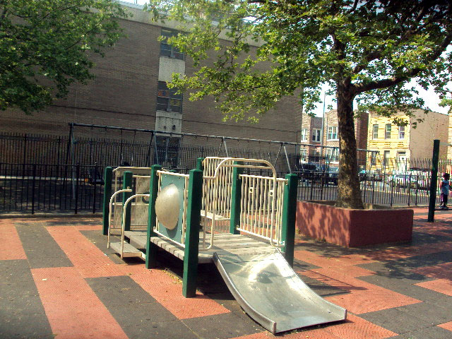
Chester Playground
Chester St. to Bristol St. between Sutter Ave. and Pitkin Ave.
Brooklyn
Directions via Google Maps
Chester Playground is located in the Brownsville section of Brooklyn, a neighborhood bounded to the north by Eastern Parkway, to the east by Van Sinderen Avenue, to the south by Linden Boulevard and to the west by Rockaway Parkway.
In 1865, Charles S. Brown purchased a section of farm and meadowland in this area and built 250 frame houses. He hoped to lure the working class from lower Manhattan and western sections of Brooklyn to live in his modestly priced homes. Brown was certain that he would not be able to convince wealthier people to relocate because the area was affected by the odors from the marshes and bone-boiling factories of Jamaica Bay.
Show Disclaimer


Highlights

Check out your park's Vital Signs
Clean & Safe
Green & Resilient
Empowered & Engaged Users
Share your feedback or learn more about how this park is part of a
Vital Park System![]()
 |
%7Cutmcsr%3D(direct)%7Cutmcmd%3D(none)%3B%2B__utmv%3D39335175.-%3B)