Greenpoint-Williamsburg Waterfront

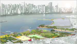
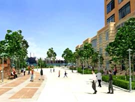
Note: The graphics are illustrative representations of development under the proposed zoning, and do not represent the amount of development expected in the foreseeable future as a result of the action. Illustrations by Donna Walcavage.
A new rezoning plan was passed for the neighborhoods of Williamsburg and Greenpoint were rezoned in 2005. The historic zoning will ultimately result in the creation of over 50 acres of new parkland along the East River waterfront.
In response to community requests that these new parks be responsive to the needs of local residents, environmentally progressive, and designed in a consistent and inviting manner, the Parks Department created a waterfront master plan that compliments the existing Waterfront Access Plan and serves as a guide for the agency and for future developers along the waterfront.
The master plan provides a conceptual framework for the 1.6-mile public esplanade that will be created by the rezoning plan, as well as schematic plans for new public parks along the waterfront.
With input from Community Board 1, local stakeholders, the Open Space Alliance, and the Department of City Planning, the Parks Department developed a compelling vision for the waterfront that established design standards and a programmatic plan that will assure the future of the Williamsburg/Greenpoint waterfront as a community asset.
We invite you to explore our master plan using the link below. The plan remains a working document that will continue to evolve through partnerships with the community, private developers, and various other stakeholders.
Waterfront Development

This rendering shows the building and landscape at Bushwick Inlet Park. Image credit: Kiss+Cathcart Architects.

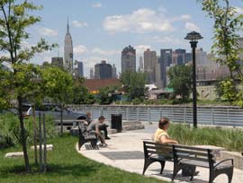
North 5th Street Pier provides Williamsburg residents with spectacular views of Manhattan and is the first in a series of privately developed esplanades along the East River.

The newly constructed Manhattan Avenue Streetend Park brings Greenpoint residents up close and personal with Newtown Creek.

The proposed Waterfront Access Plan requires new development to include publicly accessible waterfront open spaces.
- Greenpoint-Williamsburg Waterfront Open Space Master Plan (28.3 MB, PDF)
Warning: This is a large file and may take several minutes to download, depending on your connection speed.
Related Links
New York City Department of City Planning Greenpoint-Williamsburg Overview