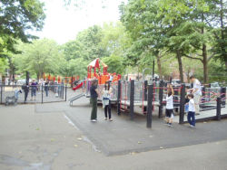
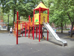
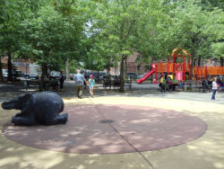
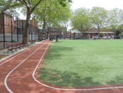
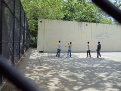
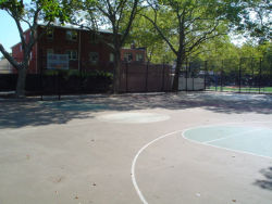
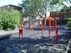
This playground takes its name from its location on Avenue Z between West and West First Streets.
West Street, which extends southward from Avenue T to the north side of Shore Parkway, was laid out in the mid-to-late-1800s. The name actually belonged to two segments of road, a northern and a southern part. The northern part of West Street, now called Dahill Road, was given the name of West because of its position in relation to the street layouts of eastern and central Brooklyn. West Street was taken as a starting point, or ‘directrix,’ with the streets after that named East First, East Second, etc. Although the Dahill Road segment was renamed, the northern and southern segments of the old West Street continue to serve as a reference point for the layout of the streets around them.
Show Disclaimer
Check out your park's Vital Signs
Clean & Safe
Green & Resilient
Empowered & Engaged Users
Share your feedback or learn more about how this park is part of a
Vital Park System


