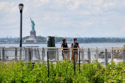
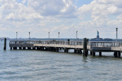
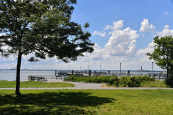
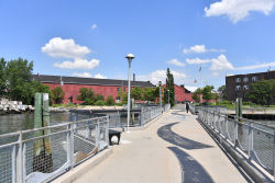
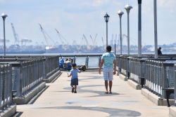
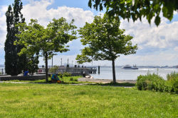
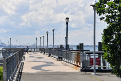
Valentino Pier
Parks Launches Nyc Water Trail Map And Interactive Guide
IMMEDIATEThursday, March 27, 2008
No. 23
http://www.nyc.gov/parks
Parks Commissioner Adrian Benepe and Queens Commissioner Dorothy Lewandowski celebrated the official launch of the NYC Water Trail Map & Guide by cutting the ribbon with Going Coastal’s Barbara La Rocca, the state Office of Parks’ Rachel Gordon, Hudson River Valley Greenway’s Mary Mangione, the Metropolitan Waterfront Alliance and members of the canoe and kayak community. The map and guide features 28 kayak and canoe launch sites throughout the City and it was edited by New School Assistant Professor Robert Buchanan.
“A major initiative of Mayor Bloomberg’s PlaNYC is to reconnect the public with the City’s waterfront, and today, we have 28 locations for canoers and kayakers to gain access to the water. The NYC Water Trail is the result of a team effort between Queens Borough Commissioner Lewandowski, Going Coastal and the canoe and kayak communities,” said Commissioner Benepe. “Parks is creating new parks and sports facilities for a whole new generation of users. We know that more recreational opportunities mean better neighborhoods and healthier New Yorkers.”
Last March, Commissioner Lewandowski, a water sports enthusiast and accomplished kayaker, led the effort to develop New York City’s water trails.
“The shorelines of New York City offer tremendous paddling opportunities for both the beginner and advanced to explore by canoe and kayak. This printed map and guide and our updated Parks web page provides not only information on locations to paddle, but also provides links to the numerous paddling clubs and organizations, which offer programs and training on safe paddling,” said Commissioner Lewandowski. “Just as Greenways continue to make connections between neighborhoods and parklands, this Water Trail will continue to create new opportunities for persons to explore our natural environment.”
The Metropolitan Waterfront Alliance (MWA) has played a key role in coordinating water trail user groups.
“The New York City Water Trail is a barrier-breaking advancement for urban parks, opening up thousands of aquatic acres for recreation for New Yorkers throughout the City,” said MWA President and CEO Roland Lewis. “The Metropolitan Waterfront Alliance salutes the innovation of the Parks Department, particularly the leadership of Commissioner Benepe and New York’s Kayaker #1, Queens Parks Commissioner Lewandowski.”
In partnership with Going Coastal, Parks developed a New York City Water Trail Map & Guide, which identifies 28 locations throughout the City where New Yorkers can legally canoe and kayak. The Parks Web site now includes an interactive map of the citywide water trail system.
The guide was funded by a $5,000 grant from Explore NY, a program supports the development of promotional programs using a specific thematic relationship between partners and tourism assets to generate new visitor revenue. The project received in-kind support and technical assistance from Partnerships for Parks, the City’s Department of Environmental Preservation and West Marine.
Over the past year, the canoe and kayak communities helped Parks gather information on safe launch and landing areas throughout the City. Volunteers included members from various kayak/canoe clubs and organizations throughout the five boroughs such as the Metropolitan Water Alliance, NYC Downtown Boathouse, Long Island City Community Boathouse, Sebago Canoe Club, the Red Hook Boaters and many more.
- 30 -
Link: http://www.nycgovparks.org/sub_things_to_do/facilities/kayak/
Check out your park's Vital Signs
Clean & Safe
Green & Resilient
Empowered & Engaged Users
Share your feedback or learn more about how this park is part of a
Vital Park System

