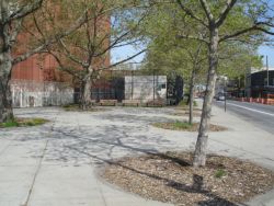
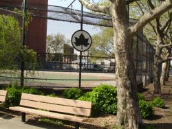
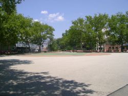
Harold Ickes Playground
Hamitlon Ave. ber. Van Brunt St. and Woodull St.
Brooklyn
Directions via Google Maps
What was here before?
This neighborhood of Red Hook was settled by the Dutch in 1636. The area was originally called Roode Hoek for the reddish color of the soil and the distinctive shape of the land.
Two hundred years after the arrival of the first settlers, Red Hook’s marshy land remained rural and undeveloped until the construction of the Atlantic Basin in the spurred growth. The Atlantic Dock Company developed piers in the Atlantic Basin, and William Beard, a railroad contractor, built up wharves in nearby Erie Basin. The peninsula quickly became one of the busiest shipping centers in the United States. By the beginning of the Civil War, ships from all over the world docked at Red Hook. At the turn of the 20th century, the neighborhood was still bustling, and it prospered well into the 1930s and 1940s, when the basin employed over 7,000 people.
Show Disclaimer
Facilities
Check out your park's Vital Signs
Clean & Safe
Green & Resilient
Empowered & Engaged Users
Share your feedback or learn more about how this park is part of a
Vital Park System


