This text is part of Parks’ Historical Signs Project and can be found posted within the park.
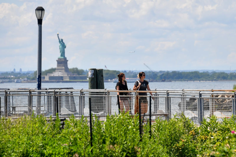
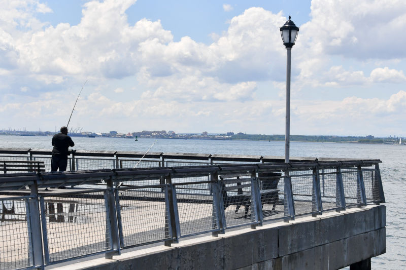
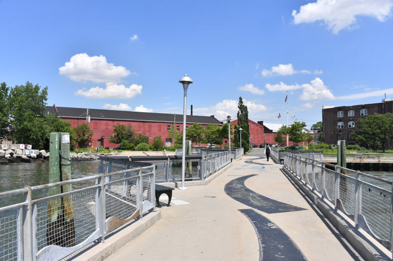
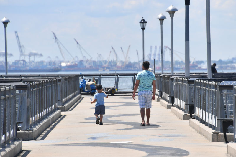
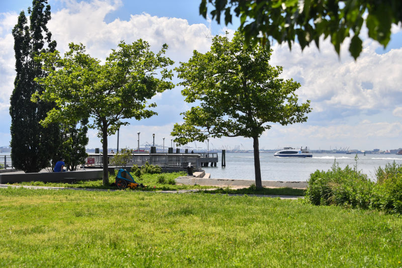
Now surrounded by industrial, residential, and historic buildings, Valentino Pier was once the site of an active shipping industry. In the 1600s, the Red Hook district was settled by the Dutch. As the land became more developed and the population grew, the shipping industry began to take form. With the growth of the New York Harbor and accompanying changes on the waterfront, Red Hook became one of the nation’s premier shipping centers in the 19th century. This pier is a reminder of the shipping industry that once occupied the waters of the Buttermilk Channel and the Upper New York Harbor.
Show Disclaimer
This map is designed to represent parks as they are used by the public. It should not be used to represent the legal boundaries of property under Parks jurisdiction. If you would like to view all City property under the jurisdiction of NYC Parks, please visit NYC OpenData.
Facilities


Check out your park's Vital Signs
Clean & Safe
No recent capital investment.
Green & Resilient
15
Mapped Trees
No natural areas present at this site.
Empowered & Engaged Users
Share your feedback or learn more about how this park is part of a
Vital Park System![]()
 |


%7Cutmcsr%3D(direct)%7Cutmcmd%3D(none)%3B%2B__utmv%3D27607428.-%3B)