Mount Prospect Park
Eastern Pkwy., Flatbush Ave. bet. Underhill Ave. and Washington Ave.
Brooklyn
Directions via Google Maps
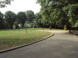
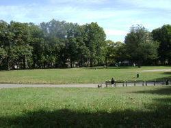
Mount Prospect, the second highest point in Brooklyn, draws its name from the sweeping vistas it affords viewers. It was used by the Continental Army in 1776 as a lookout point, which at that time offered strategic views of Manhattan, Brooklyn, New York harbor, a portion of New Jersey, Staten Island, and Long Island. In 1856, the City of Brooklyn built a reservoir at the peak of this hill to supply water to its western section.
Show Disclaimer
Featured Project
New York City Mayor Eric Adams, NYC Parks, and the Skatepark Project are bringing four new skate parks to Brooklyn and the Bronx for all New Yorkers to enjoy.
Highlights
Check out your park's Vital Signs
Clean & Safe
Green & Resilient
Empowered & Engaged Users
Share your feedback or learn more about how this park is part of a
Vital Park System


