Jamaica Bay and the Rockaways
Glaciers in Marine Park
The landscape of Marine Park clearly shows the influence of the most recent Ice Age. The park sits atop land left by a melting ice sheet. Around 1.5 million years ago, at the start of the Pleistocene Era - which ended around 10,000 years ago - the Earth’s climate changed drastically and the planet plunged into an ice age. Huge masses of snow and ice formed in the Arctic, sometimes as thick as two miles. The tremendous weight and pressure of the ice sheet caused the snow underneath to solidify, and it provided a surface on which glaciers could travel. During the Pleistocene Epoch, there were four such glacial advances - the most recent being the Wisconsin ice sheet, which had the greatest impact on the land beneath New York City.
The Wisconsin ice sheet began its southward journey from the Arctic around 100,000 years ago, reaching what is now New York roughly 50,000 years later. By this time, it had lost some of its bulk, although it was still 300 feet thick and stretched from Massachusetts to Montana. As the glacier moved through this region, it deepened the bed of the Hudson River, carved out such geologic features as the Great Lakes and the Finger Lakes basins, and left its mark on the Adirondack mountains. The glacier also deposited tons of gravel and pebbles - moving, for example, boulders from the Palisades to Central Park - plowed up topsoil, and leveled the earth, filling in depressed areas with glacial till.
Even after the ice had ceased to advance, it continued to flow: its southern end was melting at the same rate that new snow was added in the north. Gravel and debris brought down from the north was deposited at the southern edge of the ice sheet, known as the terminal moraine. In New York City, the terminal moraine stretches from the southern end of Staten Island through Brooklyn and Queens and stands 500 feet tall in some areas. Without the terminal moraine, most of Long Island - including Queens and Brooklyn - would lie beneath the Atlantic Ocean, since the bedrock of Long Island is largely below sea level. Within what is now New York City, the melting ice deposited huge amounts of sand, silt and clay, forming the five-mile wide delta that lies under Flatbush, Coney Island, and Canarsie.
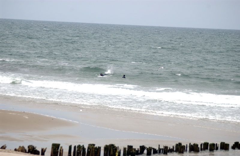
Marine Park surrounds the westernmost inlet of Jamaica Bay. The bay is one of several formed during the last 5000 years as ocean currents deposited sand in a series of long strips off the south shore of Long Island. These strips form a barrier against the surf and allow salt marshes to grow in the calm water on the protected bay side. Gerritsen Creek runs through the park, though it once extended about twice as far inland as it does today. It takes its name from Dutch colonist Wolphert Gerritsen, who built a gristmill on the creek in the latter half of the 17th century. The mill was in continuous operation until 1889, and was destroyed by fire in 1935. Around 1920, the creek north of Avenue U was converted into an underground storm drain, but continues to supply the park’s salt marsh with fresh water, allowing the marsh to support a wide range of organisms including wildflowers, beach plants, thickets, and animals such as Yellow-Rumped warblers, grasshopper sparrows, cotton-tailed rabbits, ring-necked pheasants, horseshoe crabs and oyster toad fish.
At the turn of the century, developers began making elaborate plans to turn Jamaica Bay into a port. Fearing that the relatively pristine marshland around Gerritsen Creek would be destroyed, Frederick B. Pratt and Alfred T. White offered the city 150 acres in the area for use as a park in 1917. After a seven-year delay, the city accepted the offer. By 1937, the park’s area had grown to 1822 acres, the result of fill deposited in the marshlands in the 1930s and new land purchases; also in 1937, the Board of Alderman named the property Brooklyn Marine Park. A series of additional land transactions, including the 1974 transfer of 1024 acres to the National Parks Service for inclusion in the Gateway National Recreation Area, have stabilized the area of Marine Park at 798 acres, a figure that includes land under water.

Check out your park's Vital Signs
Clean & Safe
Green & Resilient
Empowered & Engaged Users
Share your feedback or learn more about how this park is part of a
Vital Park System![]()

Know Before You Go
Ecology Park is only open at certain times of year when Parks staff are present in order to protect this unique landscape. Want to visit? Check out our Stewardship Projects page for restoration, planting, and educational events.
Partner Organization

%7Cutmcsr%3D(direct)%7Cutmcmd%3D(none)%3B%2B__utmv%3D27948399.-%3B)