Jamaica Bay and the Rockaways
Gerritsen Creek
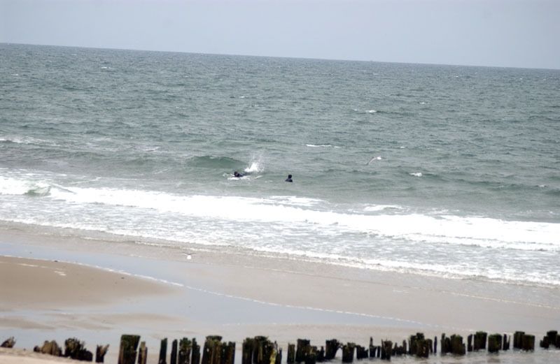
Marine Park occupies the westernmost inlet of Jamaica Bay. The bay itself was formed over the past five thousand years, as ocean currents deposited strips of sand along the south shore of Long Island. These beaches act as barriers against the surf, and thereby allow calm saltwater marshes to form on the protected side. Jamaica Bay’s barrier beach is Rockaway. Gerritsen Creek is a freshwater creek that used to extend inland twice as far as it does today. Around 1920, the portion of the creek that lay north of Avenue U was converted into an underground storm drain. Though it is no longer visible, it still supplies the marsh with freshwater from further inland.
Between 800 and 1400 CE, Native Americans from the village of Keshawchqueren (where Flatbush Avenue and Kings Highway intersect today) probably used this creek for hunting and fishing. Their food preparation pits, deer and turtle bones, oyster shells, and sturgeon scales have been excavated throughout Marine Park. When the Dutch arrived in the early 17th century, the plains and salt marshes along the southern coast of Brooklyn seemed reminiscent of perennially flooded Holland. Thus, the Dutch stayed and established several villages including New Utrecht, New Amersfoort (Flatlands), Flatbush, New Lots, and Bushwick. These villages consisted of large dairy farms, spread throughout the region. These and later settlers found additional wealth harvesting oysters and clams from Jamaica Bay. But during the 1920s, suburbanization of Brooklyn forced land-intensive dairy farms elsewhere, and harbor development killed the bay’s oyster beds.
Around 1900, developers considered plans to turn Jamaica Bay into a port. They intended to dredge Rockaway channel and thereby allow large ships to enter. Speculators anticipated a real estate boom and began purchasing waterfront properties on Jamaica Bay. Two local men, Frederic B. Pratt and Alfred T. White feared that the pristine marshland around Gerritsen Creek would be lost to development, so they donated 140 acres to the city as a park in 1917. By 1937, Marine Park had grown to 1,822 acres through additional city purchases. In 1974, New York City transferred 1,024 acres of the park to the National Park Service’s Gateway National Recreation Area. But the 798 acres that remain of Marine Park still constitute a natural preserve nearly the size of Manhattan’s Central Park.
At low tide, near marker 4, visitors can see wooden pilings crossing the creek. These are the remains of the first tide-powered mill in North America. Dutch farmer Hugh Gerritsen (the son of the original settler Wolphert Gerritsen, for whom the surrounding neighborhood is named) built this flourmill in 1645. While George Washington’s Continental Army was stationed in Brooklyn, this mill ground flour for the troops. Later, the Hessians who fought for the British captured and used it too. The mill continued to operate until 1889, and was burned by vandals in 1935.
Gerritsen Creek provides a natural habitat for a very diverse group of organisms. Myrtle warblers (Dendroica coronata), Canada geese (Branta canadensis), brants (Branta bernicla), canvasbacks (Aythya valisineria), buffleheads (Bucephala albeola), red-breasted mergansers (Mergus serrator), common loons (Gavia immer), grasshopper sparrows (Ammodramus savannarum), cotton-tailed rabbits (Sylvilagus virginianus), ring-necked pheasants (Phasianus colchicus), horseshoe crabs (Limulus polyphemus), oyster toadfish (Opsanus tau), and different species of egret, heron and grebe all live in and around the creek.
The creek also supports myriad plant life, including common reedgrass (Phragmites austalis), sea side goldenrod (Solidago sempervirens), and ragweed (Ambrosia artemisifolia). The reedgrass grows at the expense of other plant life by crowding the soil and blocking sunlight. Goldenrod is fertilized by insect pollination. Finally, ragweed relies on the wind for pollination because its flowers fail to attract insects. Because the wind is not particularly efficient, ragweed must produce copious amounts of pollen to have any success. This is why the plant causes much suffering for people with allergies. Other wildflowers that can be seen here include asters (Aster), shepherd’s purse (Capsella bursa-pastoris), Carolina whitlow grass (Draba verna), and marsh elder (Iva frutescens), all typical of the area. Of special note is the White mulberry tree (Morus alba) at marker 10. Such trees, native to China, were first planted in 1830 near Flushing. Their leaves are the food of choice for silkworms (Bombyx mori), and they were planted to help establish a silk industry in the United States. The industrial effort failed because it was too labor-intensive, but the trees thrived and are now common throughout the northeast.

Check out your park's Vital Signs
Clean & Safe
Green & Resilient
Empowered & Engaged Users
Share your feedback or learn more about how this park is part of a
Vital Park System![]()

Know Before You Go
Ecology Park is only open at certain times of year when Parks staff are present in order to protect this unique landscape. Want to visit? Check out our Stewardship Projects page for restoration, planting, and educational events.
Partner Organization

%7Cutmcsr%3D(direct)%7Cutmcmd%3D(none)%3B%2B__utmv%3D54453320.-%3B)