This text is part of Parks’ Historical Signs Project and can be found posted within the park.
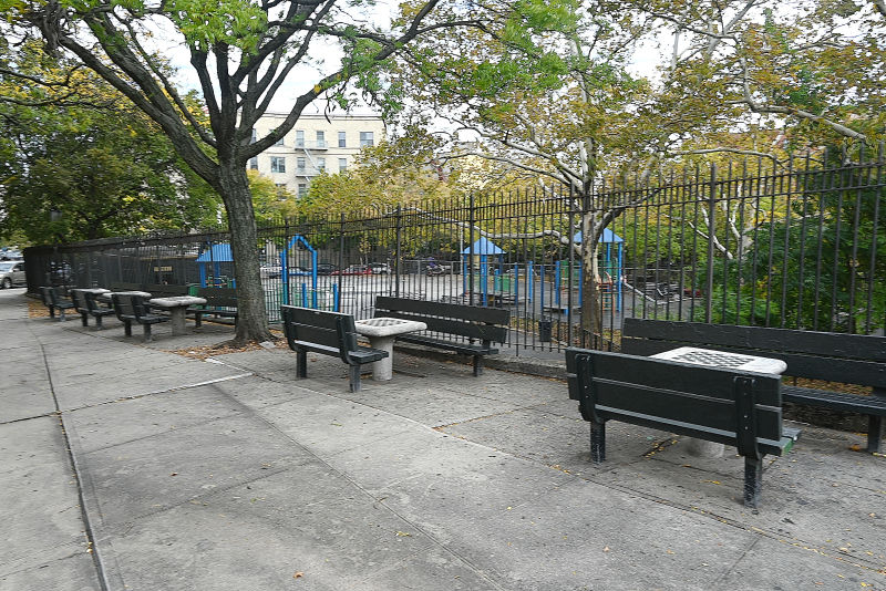
Almost since this U-shaped park was created in 1897 it has been commonly known as Horseshoe Park because of its unusual shape. The site of the park was spared from development because of its steep slope with East 165th Street being routed around this park.
Show Disclaimer
This map is designed to represent parks as they are used by the public. It should not be used to represent the legal boundaries of property under Parks jurisdiction. If you would like to view all City property under the jurisdiction of NYC Parks, please visit NYC OpenData.


Check out your park's Vital Signs
Clean & Safe
$5.5M
Recent Investment
Green & Resilient
No natural areas present at this site.
Empowered & Engaged Users
No active volunteer groups.
Share your feedback or learn more about how this park is part of a
Vital Park System![]()


%7Cutmcsr%3D(direct)%7Cutmcmd%3D(none)%3B%2B__utmv%3D94175297.-%3B)