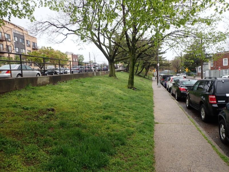
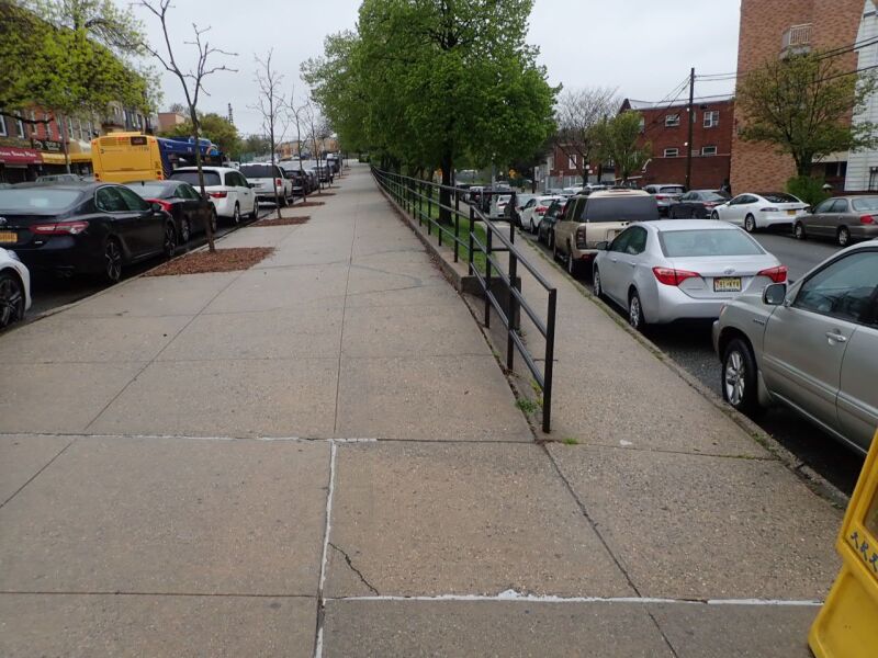
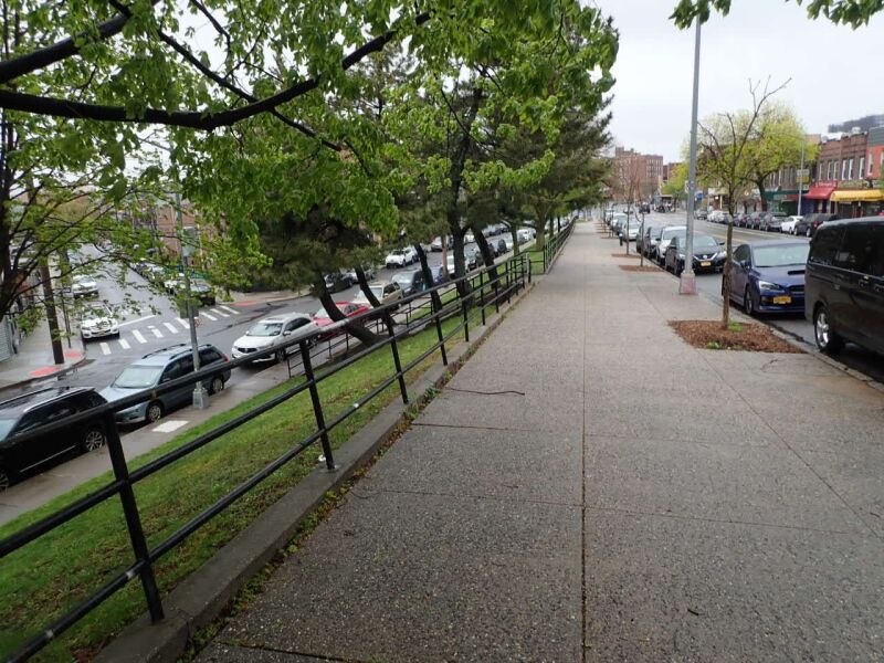
Grand Slope
Kneeland Ave., Grand Ave. bet. Manilla St. and Haspel St.
Queens
Directions via Google Maps
In November of 1929 a resolution to officially build a park on this property was supported by the South Elmhurst Civic and Taxpayers Association, members of which wanted to prevent the construction of a gas station on the property. In October, 1930, however, proceedings to attain the park were delayed, and the city would not acquire the land for another eight years.
Grand Slope is located in the Queens neighborhood of Elmhurst. Elmhurst was first known as Middleburgh, and later as Hastings, when it was established in 1652. Colonists began to refer to Hastings as “new town” in order to distinguish it from Queen’s first and abandoned settlement of Maspeth (established in 1642, abandoned in 1644). In 1683, the name Newtown was officially given to the village and township. The area was developed in the 1890s, particularly by what would become the Cord Meyer Development Company.
Show Disclaimer
Highlights

Check out your park's Vital Signs
Clean & Safe
Green & Resilient
Empowered & Engaged Users
Share your feedback or learn more about how this park is part of a
Vital Park System![]()
 |
%7Cutmcsr%3D(direct)%7Cutmcmd%3D(none)%3B%2B__utmv%3D41453170.-%3B)