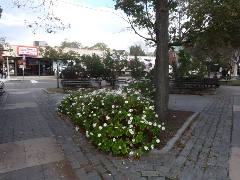
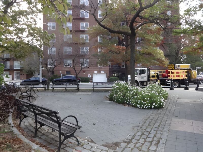
Located in the Queens neighborhood of Rego Park, Fleetwood Triangle’s name takes its name from nearby Fleet Court and Woodhaven Boulevard, and boasts the butterfly as its park mascot.
Rego Park also bears a composite name, derived from the Real Good Construction Company, who in the 1920s developed the neighborhood. The area had previously been farmland and contained just one road running through it, Remsen’s Lane. This originally passed straight through Fleetwood triangle, bisecting the district, along the path of 63rd Drive, Fleet Court, and 64th Road. Many of the farmers were Chinese immigrants growing fruits and vegetables to sell in Chinatown.
In response to the City’s growing need for housing, the Real Good Construction Company bought up farm properties and marketed the area as a “REal GOod” place to raise a family, attracting residents with its new single-family row houses, apartment buildings, and multiple-family houses.
Show Disclaimer
Highlights

Check out your park's Vital Signs
Clean & Safe
Green & Resilient
Empowered & Engaged Users
Share your feedback or learn more about how this park is part of a
Vital Park System![]()
 |
%7Cutmcsr%3D(direct)%7Cutmcmd%3D(none)%3B%2B__utmv%3D93187938.-%3B)