This text is part of Parks’ Historical Signs Project and can be found posted within the park.
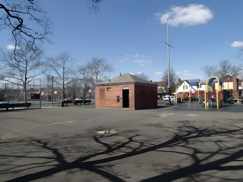
This playground’s name is derived from its position in relation to nearby Springfield Boulevard.
Originally part of the St. Albans community, Cambria Heights had been included in a 1655 land grant from the Director General of the New Netherland colony, Peter Stuyvesant (1610-1672). Consisting largely of marshlands, forests, and farms, the area remained a relatively rural well into the 20th century. At that time the area consisted of only two roads: Central Avenue, which is now Linden Boulevard, and Springfield Boulevard.
Show Disclaimer
This map is designed to represent parks as they are used by the public. It should not be used to represent the legal boundaries of property under Parks jurisdiction. If you would like to view all City property under the jurisdiction of NYC Parks, please visit NYC OpenData.


Highlights

Check out your park's Vital Signs
Clean & Safe
$7.5M
Recent Investment
Green & Resilient
14
Mapped Trees
No natural areas present at this site.
Empowered & Engaged Users
No recent or upcoming events.
Share your feedback or learn more about how this park is part of a
Vital Park System![]()
 |


%7Cutmcsr%3D(direct)%7Cutmcmd%3D(none)%3B%2B__utmv%3D81736266.-%3B)