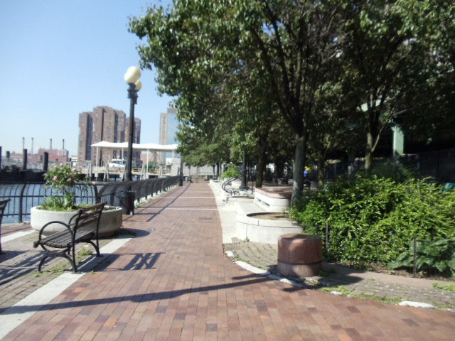
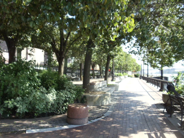
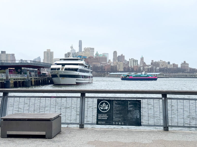
Acquired in 1939 as a result of the construction of the East River Drive (later renamed the Franklin Delano Roosevelt East River Drive), the East River Esplanade is a vital part of New York City’s vast greenway system. The park forms the edge of Manhattan as it meets the East River and varies as one travels along it, with sections maintained by different groups and featuring various designs. At the time of construction, borough president Samuel Levy (1876-1953) predicted that the project would “play a leading role in the transformation of the East Side from a slum area into a beautiful residential district.” The East River Esplanade was part of a larger City effort to improve living conditions in crowded Lower Manhattan with the addition of playgrounds and open space.
Show Disclaimer
Facilities


Check out your park's Vital Signs
Clean & Safe
Green & Resilient
Empowered & Engaged Users
Share your feedback or learn more about how this park is part of a
Vital Park System![]()
 |

%7Cutmcsr%3D(direct)%7Cutmcmd%3D(none)%3B%2B__utmv%3D12480056.-%3B)