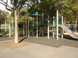
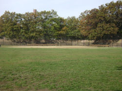
Cypress Hills Playground
Euclid Ave. bet. Dumont Ave. and Blake Ave.
Brooklyn
Directions via Google Maps
This playground, housing development, and neighborhood share their name with the federal cemetery that lies nearby, at 833 Jamaica Avenue. Originally inhabited by Canarsee Indians, Cypress Hills was first settled in the early 18th century by Dutch, French and English farmers, and the African slaves they brought with them. The area remained largely rural until the completion of the wooden Jamaica Plank Road (now Jamaica Avenue) in 1807. In 1821, the construction of the Union Course racetrack just over the line in Queens drew settlers rapidly to northern Brooklyn, and shops and hotels quickly sprang up to accommodate visitors and residents alike.
Show Disclaimer
Check out your park's Vital Signs
Clean & Safe
Green & Resilient
Empowered & Engaged Users
Share your feedback or learn more about how this park is part of a
Vital Park System


