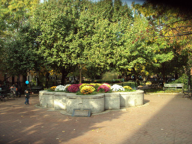
Cobble Hill Park
Clinton St. between Verandah Pl. and Congress St.
Brooklyn
Directions via Google Maps
The calm setting of present-day Cobble Hill Park belies an area with a history of contention. Its namesake, the surrounding neighborhood of Cobble Hill, was first settled in the mid-17th century by Dutch farmers when Governor Peter Stuyvesant permitted farming north of Red Hook. At this time, the area was known as Punkiesberg. In 1776, during the Battle of Long Island, the Continental Army called the area "Cobble Hill" after a similar hill they had recently fortified during the Siege of Boston. The redoubt at Cobble Hill was actually named "Smith's Barbette" after the army engineer, Captain William Smith, who supervised its construction. The hill was part of a line of defense running from Gowanus Bay to Wallabout Bay, site of the Brooklyn Navy Yard . The area was again fortified during the War of 1812 and temporarily renamed "Fort Swift," but the name Cobble Hill remained associated with the area.
Show Disclaimer
Facilities

Highlights

Check out your park's Vital Signs
Clean & Safe
Green & Resilient
Empowered & Engaged Users
Share your feedback or learn more about how this park is part of a
Vital Park System![]()
 |

%7Cutmcsr%3D(direct)%7Cutmcmd%3D(none)%3B%2B__utmv%3D10827747.-%3B)