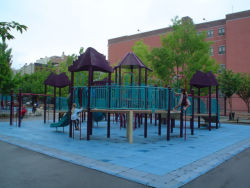
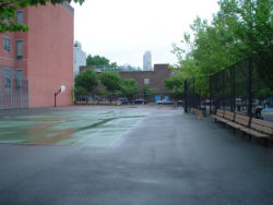
Boerum Park
Warren St. to Baltic St. between Hoyt St. and Smith St.
Brooklyn
Directions via Google Maps
This playground honors Simon Boerum (1724-1775), whose family farm occupied the surrounding area in the 18th century. Boerum not only held large amounts of land, but also served as a delegate to the Continental Congress of New York State.
The homes that characterize Boerum Hill were built at a time when the emerging and growing middle class was searching for a way to avoid the cramped conditions of boarding houses in Manhattan. In the 1850s, a skilled tradesman or merchant could rent a row house in the area for $200 a year. The turn of the century brought even more people to Boerum Hill and Brooklyn in general; by 1930 it was the most populous borough in the city with over 2.5 million residents. During the 1960s, urban renewal plans threatened many of the aging buildings of this area, but neighborhood groups worked together to prevent demolition and to resurrect waning community pride.
Show Disclaimer
Facilities
Highlights
Check out your park's Vital Signs
Clean & Safe
Green & Resilient
Empowered & Engaged Users
Share your feedback or learn more about how this park is part of a
Vital Park System


