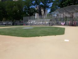
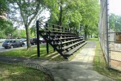
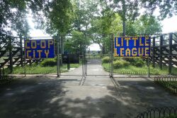
Co-op City Field
Co-op City Blvd. and the Hutch. River bet. Carver Loop and Bellamy Loop
Bronx
Directions via Google Maps
What was here before?
These ballfields share the same name as the surrounding Bronx neighborhood, Co-Op City.
Through the 1940s, the Co-Op City property was an undeveloped swamp owned by the City. The Freedomland Amusement Park Corporation purchased a portion of the land, but the land remained undeveloped. After World War II, the Army attempted to acquire the property to construct an airfield. The Army went so far as to draw up blueprints and maps of the proposed base, but Power Broker, Robert Moses (1888-1981) had other plans.
Moses envisioned a system to improve New York’s housing situation, which involved erecting modernized apartment buildings in vacant areas, moving tenants in, and then replacing their former residences with similar complexes. Moses hoped this would create a cycle that would eventually revolutionize housing. Co-op City was a model of his vision.
Show Disclaimer
Facilities
Highlights
Check out your park's Vital Signs
Clean & Safe
Green & Resilient
Empowered & Engaged Users
Share your feedback or learn more about how this park is part of a
Vital Park System


