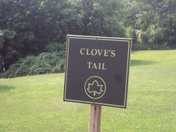
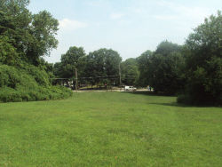
Clove's Tail
Little Clove Rd. bet. Windsor Rd. and Victory Blvd.
Staten Island
Directions via Google Maps
Clove’s Tail is so named for its location at the tail end of Clove Lakes Park. The Dutch word “kloven” translates as cleft in English, and here refers to the valley and brook lying between Emerson and Grimes Hills.
A massive ice sheet forced its way through this region 20,000 years ago; and as the ice receded northward, it dug valleys into the landscape. As ice melted, ponds and brooks were formed from the immense water run-off. One such brook originated in what is now Brooks Pond, and ran through this valley, ending in the Kill Van Kull channel that connects New York Bay with Newark Bay. This watercourse is known as Clove Brook. In pre-colonial Staten Island, Native Americans used a path adjacent to the stream as a route to Kill Van Kull.
Show Disclaimer
Facilities
Highlights
Check out your park's Vital Signs
Clean & Safe
Green & Resilient
Empowered & Engaged Users
Share your feedback or learn more about how this park is part of a
Vital Park System


