City Line Park
Atlantic Ave. bet. Fountain Ave. and N. Conduit Ave.
Brooklyn
Directions via Google Maps
City Line Park, located within the Brooklyn neighborhood of City Line, a section of Flatbush close to the Queens County border, was once the site of the Ridgewood Pumping Station.
During the 19th century, Brooklyn grew quickly due to advances in transportation and to the completion of the Brooklyn Bridge in 1883. Between 1870 and 1900, Brooklyn’s population grew from approximately 400,000 to one million. Brooklyn’s thirst for water grew with its population. Frequent incidence of plague also required new clean water sources. Queens and Long Island, which were more rural landscapes, became the source of water for Brooklyn. Despite complaints from Queens and Long Island natives, private water companies and later the City bought up ponds and streams in both Queens and Long Island, enlarging or diverting them for the purpose of creating reservoirs and conduits that would serve the burgeoning populace of Brooklyn. Allegedly, this…
Show Disclaimer
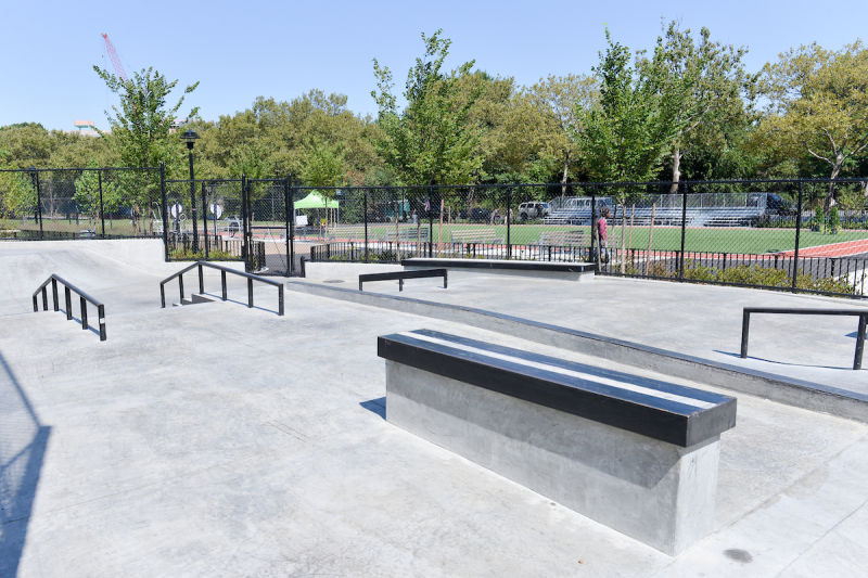
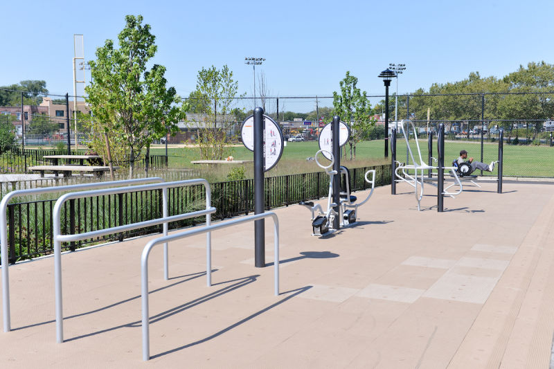
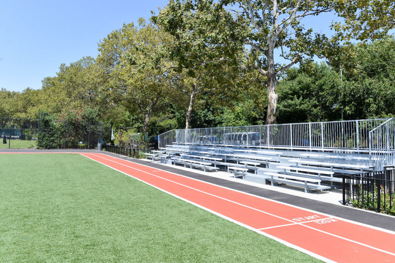
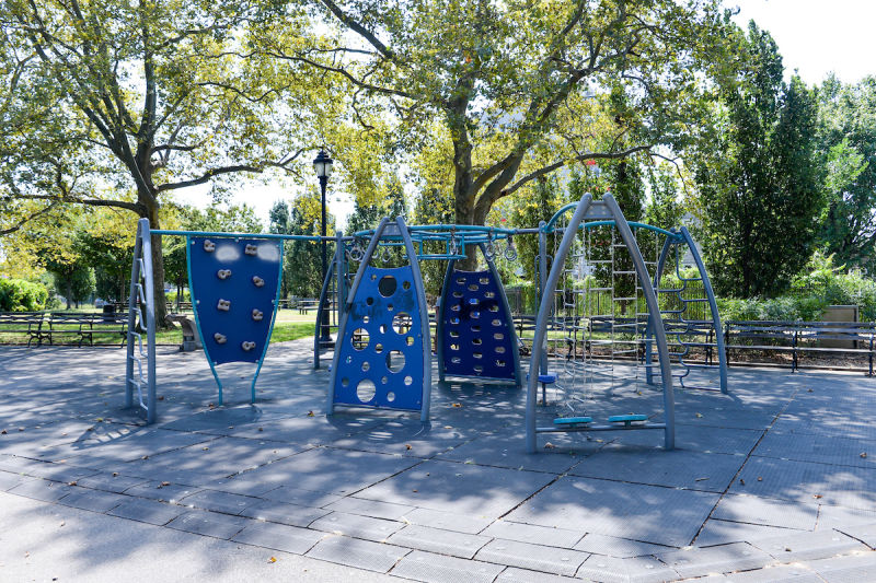
Facilities


Check out your park's Vital Signs
Clean & Safe
Green & Resilient
Empowered & Engaged Users
Share your feedback or learn more about how this park is part of a
Vital Park System![]()


%7Cutmcsr%3D(direct)%7Cutmcmd%3D(none)%3B%2B__utmv%3D29390327.-%3B)