Archie Spigner Park
St. Albans Park
St. Albans in England was named for Alban, a Roman convert to Christianity who in 304 CE was taken to the river Ver and killed for his religious convictions. Shortly thereafter, when Christianity had become widely accepted, an abbey was erected at the supposed site of his death. The city of St. Albans developed as a result of the creation of the abbey, and boasts a small but particular role in history. The first draft of the Magna Carta was read at the abbey in 1213, and St. Albans was the sight of two battles fought during the War of the Roses in 1455 and 1461. The St. Albans abbey declined and lost much of its wealth in the 15th century, and ultimately closed in 1539. Today the town is known for its printing industry, which began in the 15th century.
The neighborhood of St. Albans in Queens developed much later; at the end of the 19th century it had fewer than 600 inhabitants. Manhattan developers bought the Francis farm on Linden Boulevard in 1892 and laid out a plan for the town. A post office was built and the Long Island railroad station opened on July 1, 1898; at that time the train would only stop when signaled. The arrival of the railroad changed the neighborhood, as first the St. Albans Golf Club, and then the housing development projects of the 1920s, marked the path towards suburbanization. By 1939 some 30,000 people lived in St. Albans.
In the 1950s and 1960s, the population of St. Albans became more diverse with the influx of African Americans; some famous faces included Lena Horne, Count Basie, and Fats Waller. In the 1970s larger apartment buildings were erected and in the 1980s black immigrants from the Caribbean and the United Kingdom flocked to the area.
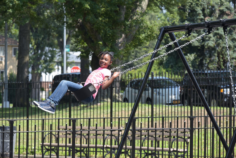
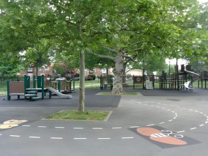
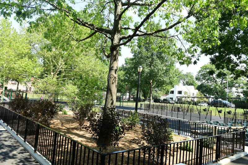
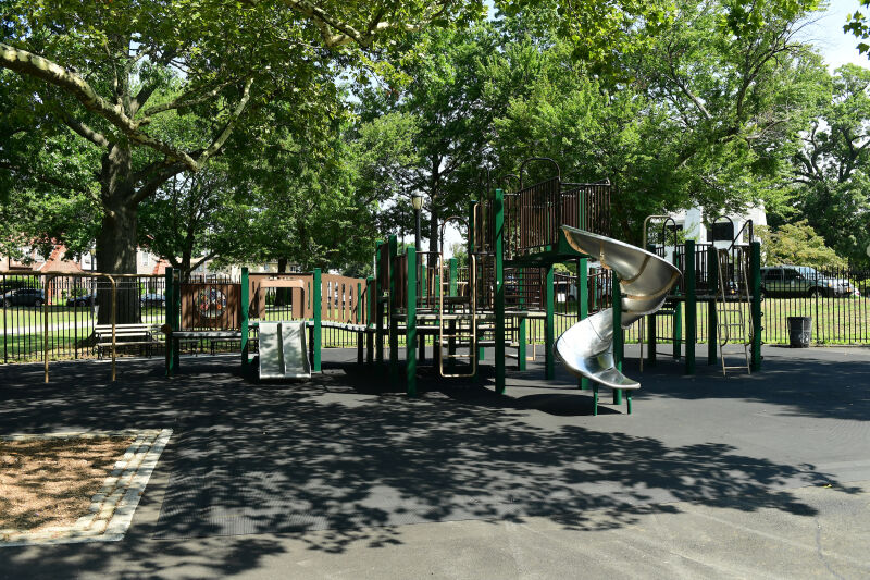
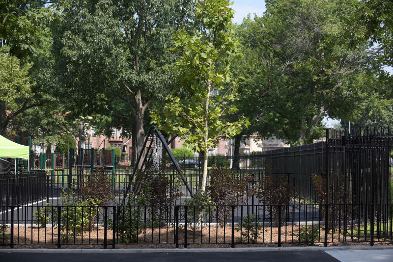
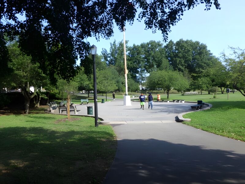
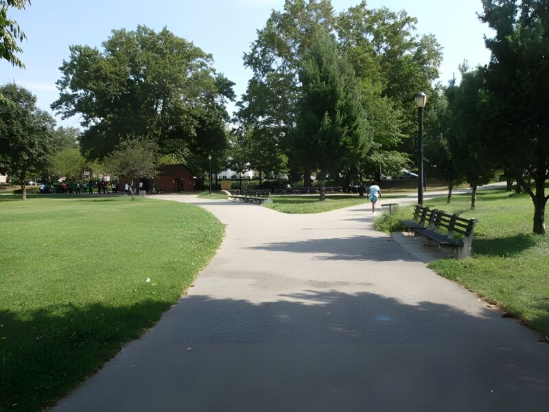
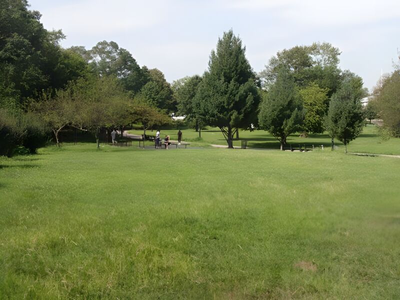
St. Albans Park, located at Merrick Boulevard, 173rd Place, and Sayres Avenue, is divided by Merrick Boulevard: to the west is a grass baseball diamond and to the east is a large open grass area, several sitting areas, a flagpole with yardarm, two full basketball courts, four handball courts, two tennis courts, play equipment with safety surfacing, as well as a separate playground also containing play equipment with safety surfacing, spray showers, swing sets, and a public restroom.
In 1861, the title for this property was vested in the Town of Jamaica, of
which St. Albans was a part, and in 1898 the property was transferred to the
City of New York upon consolidation of the five boroughs. Parks acquired the
land in 1914, and it was named St. Albans Memorial Park in 1932. Originally
10.46 acres, one third of an acre was added in 1968 for a total of 10.79 acres.
In 2001 Council Member Archie Spigner funded a $960,000 renovation which saw
the reconstruction of the path, the installation of adult fitness equipment
and safety surfacing, benches throughout the park, and a series of new plantings.

Check out your park's Vital Signs
Clean & Safe
Green & Resilient
Empowered & Engaged Users
Share your feedback or learn more about how this park is part of a
Vital Park System![]()


%7Cutmcsr%3D(direct)%7Cutmcmd%3D(none)%3B%2B__utmv%3D99856811.-%3B)