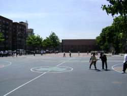
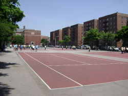
Located on Avenue L between Nostrand Avenue and East 29th Street, this playground, along with adjacent Junior High School 240, is named for the colonial Dutch settler and government servant Andries Hudde (1608-1663). Little is known of Hudde’s life before he arrived in America, save that he was born in 1608 in the town of Kampen, the Netherlands. In 1629, he traveled to the New Netherlands settlement and three years later was appointed Commissary of Stores, which meant that he was in charge of all supplies for the colony. In 1636, in partnership with several other Dutch settlers, Hudde purchased 3,600 acres on Long Island from Native Americans. That area today encompasses not only the site of this playground and much of the surrounding neighborhood of Midwood, but also the neighborhood of Flatlands and parts of Coney Island. Two years later, Hudde acquired more land, this time in lower Manhattan.
Show Disclaimer
Facilities
Highlights
Check out your park's Vital Signs
Clean & Safe
Green & Resilient
Empowered & Engaged Users
Share your feedback or learn more about how this park is part of a
Vital Park System


