Amersfort Park
Amersfort Park
What was here before?
Long inhabited by the Canarsee, this lowland area—the outwash plain of the glacial moraine that forms Long Island—proved excellent for a variety of farm crops. Though the first title to the land was registered to Jacob Van Corlear on June 10, 1636, he was joined in the purchase by Andries Hudde and Wolfert Gerritsz Van Couwenhoven in an agreement ratified by New Netherland Governor Wouter van Twiller. The first Dutch farmstead, “Bouwery of Achterveldt,” was built here in 1638. The Dutch grew tobacco, corn, squash, and beans and harvested oysters, clams, and salt hay at nearby Jamaica Bay.
How did this site become a park?
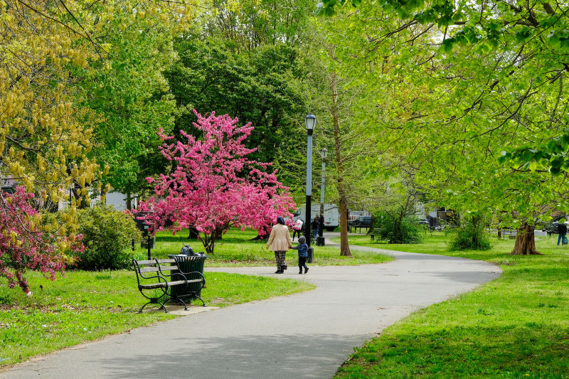
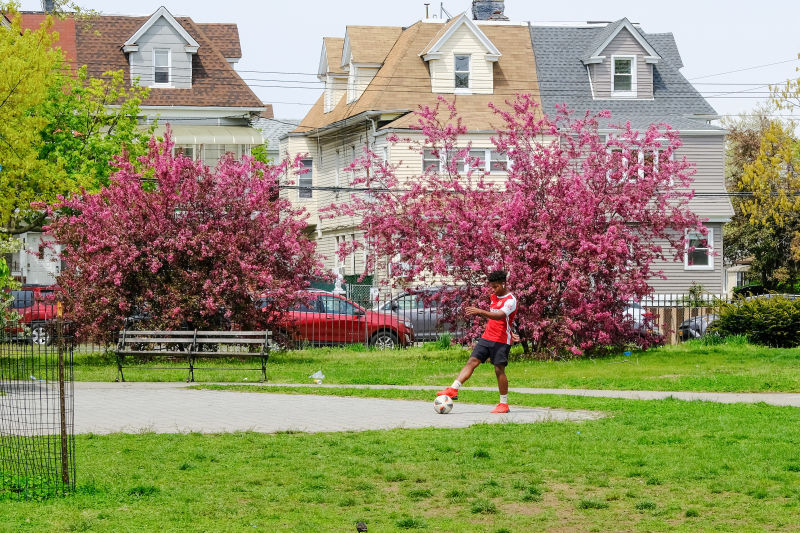
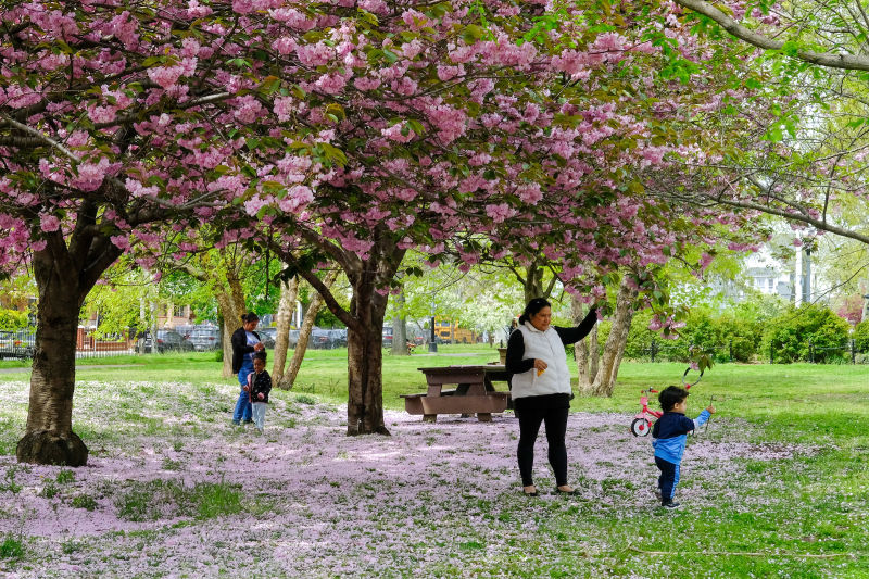
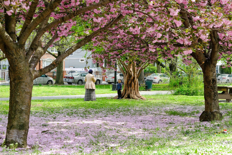
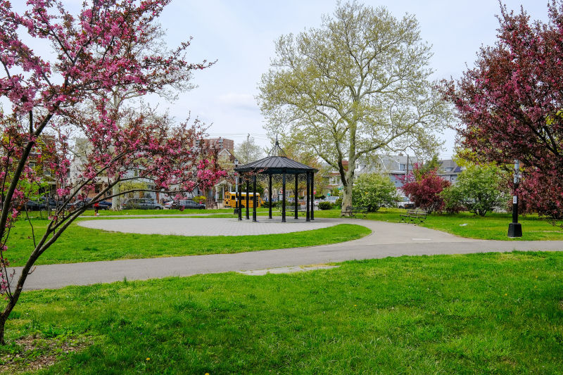
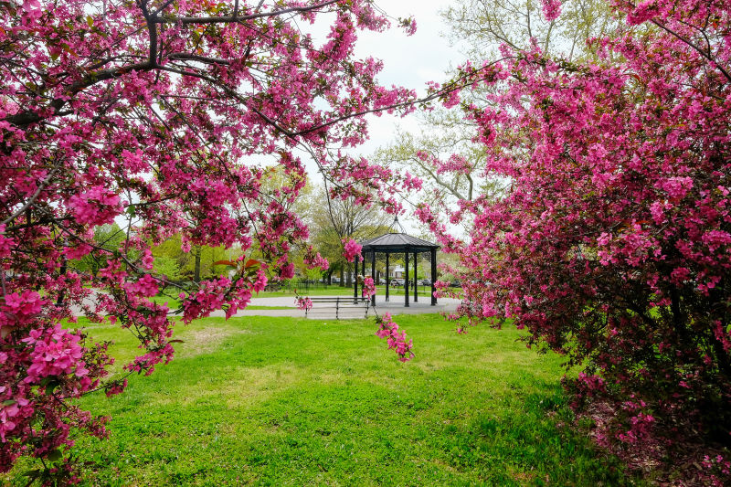
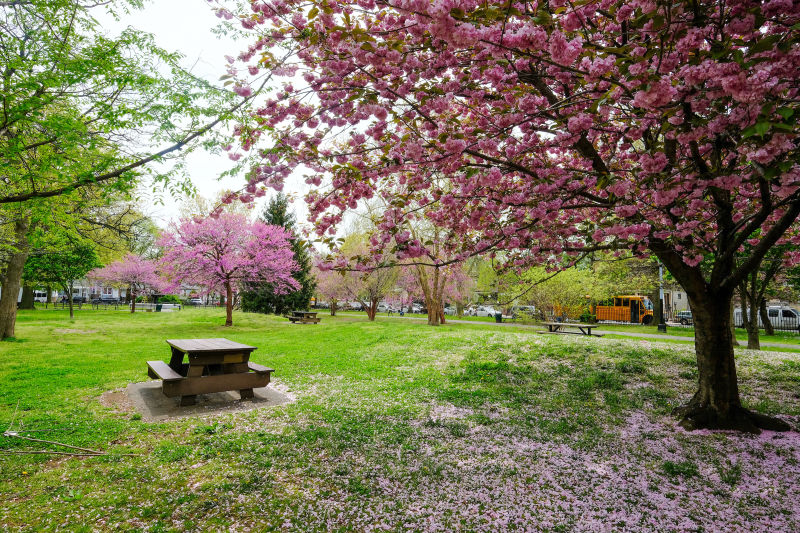
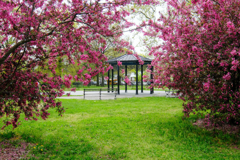
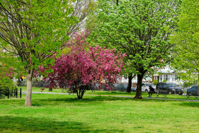
Amersfort Park was acquired by the City in 1904 and opened as a public park in 1905. The park is enclosed by a wrought iron fence dating back to 1911 and features lampposts with acorn-shaped globes. It remains botanically rich, with many elm, oak, gingko and London plane trees.
The park also contains a replica of the Rock of Amersfort, a 200,000-year-old glacial boulder in Amersfoort, Netherlands. Legend has it that in 1661, 400 Amersfoort residents dragged the 20,000-pound boulder from the moors to the city center. Squire Everhard Meyster bet his friends that the townspeople could be convinced to undertake this absurd feat, after being plied with beer and biscuits. When the people of Amersfort discovered the ruse, they were so embarrassed that they buried the boulder in 1672. It was rediscovered in 1903 and made into a monument.
Who is this park named for?
Amersfort Park recalls the name of the first European settlement on Long Island. New Amersfort, a town established just south of this site by Dutch settlers in the early 17th century, was originally called Nieuw Amersfoort after the Dutch city in Utrecht province on the River Eem. New Amersfort was renamed “Flatlands” after the arrival of the British in 1664.
Amersfort and the four adjacent settlements—Medwood, Breuckelen, Utrect, and Gravesend—were consolidated in 1665 to form the West Riding of Yorkshire, which was renamed Kings County in 1683. The area was consolidated into the City of Brooklyn in 1896, but remained largely rural until the 1920s, when a citywide building boom transformed the neighborhood into a residential community.

Check out your park's Vital Signs
Clean & Safe
Green & Resilient
Empowered & Engaged Users
Share your feedback or learn more about how this park is part of a
Vital Park System![]()

%7Cutmcsr%3D(direct)%7Cutmcmd%3D(none)%3B%2B__utmv%3D50781224.-%3B)