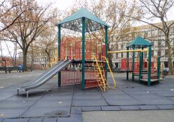
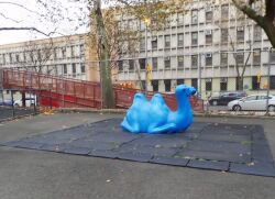
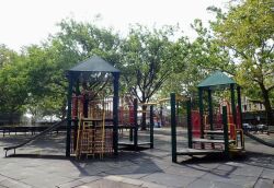
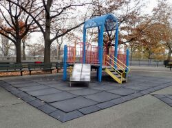
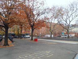
Alice Kornegay Triangle
Harlem River Park
The name Harlem comes from the Dutch city of Haarlem. When New York was New Amsterdam, this section in northern Manhattan was known as Nieuw Haarlem and the eight miles of waterway that flowed along its eastern shore between became the Harlem River. Governor General Peter Stuyvesant (1592-1672) of New Amsterdam offered newcomers between 40 and 50 acres per family to settle in the sparsely populated area, and a diverse group of settlers accepted. French, Walloon, Danish, Swedish, German, and Dutch colonists established farms on the fertile soil.
As the region became increasingly industrialized in the 19th century, the original farmers departed and new European immigrants and African Americans discovered affordable housing as construction of tenements in the area began. The Europeans began moving to the suburbs in the 1940’s and African Americans began arriving in great numbers from the South. Harlem soon became the largest, best known African American community in the world. In the 1950s newcomers from Puerto Rico settled in East Harlem below 116th Street in an area soon called “El Barrio.” During the 1960s much of the housing stock in Harlem deteriorated, but since the middle of the 1990s a transformation has been taking place with renovated town houses and apartment buildings changing the face of the community once again.
The nearly nine acres that are Harlem River Park once belonged to Jochem Pieter Kuyter, one of the original Danish colonists, and an employee of the Dutch West India Company. He had purchased the property on his arrival at New Amsterdam in 1639. Kuyter gained prominence as a champion of civil rights for Native Americans and often clashed with Governor Willem Kieft (1597-1647), whose abuse of the indigenous peoples was legendary. Parks acquired the land in 1867 and named it Kuyter Park. Today, as Harlem River Park, it is made up of smaller parks and ballfields that cluster around the Third Avenue Bridge on 130th Street and Lexington Avenue. The bridge, which connects the Bronx and Manhattan, was first built in 1790 and rebuilt for the second time in 1898.
Harlem River Park runs alongside the Harlem River Drive. During the 19th century, the road was known as the Harlem River Speedway and served horse-drawn and early motor traffic. When Robert Moses (1888-1981) became Parks Commissioner in 1934, he envisioned the thoroughfare as a link between the Triborough and George Washington Bridges. He accomplished this by means of the 178th Street Tunnel. It was not the first time the area had been reconfigured. In 1923, the river’s course was changed when the Harlem River Ship Canal was built, separating Marble Hill from Inwood in northern Manhattan.
In 1997 the Mayor’s office contributed $381,000 to explore the possibility of building a waterfront park. The City has also looked into constructing a bikeway along the water. Commissioner Stern said, “We want to do as much for the waterfront facing the Bronx as we’ve done for the one facing New Jersey.” In 2001, a three-phase reconstruction began extending the East River esplanade from 125th Street to 145th Street. For Phase I, Borough President C. Virginia Fields provided $870,000 in City Council funding, and $1.1 million in B.P. office funding. Additionally, the Federal Congestion Mitigation Air Quality Program provided $1,098,000 in funding for Phase I construction.
Check out your park's Vital Signs
Clean & Safe
Green & Resilient
Empowered & Engaged Users
Share your feedback or learn more about how this park is part of a
Vital Park System

