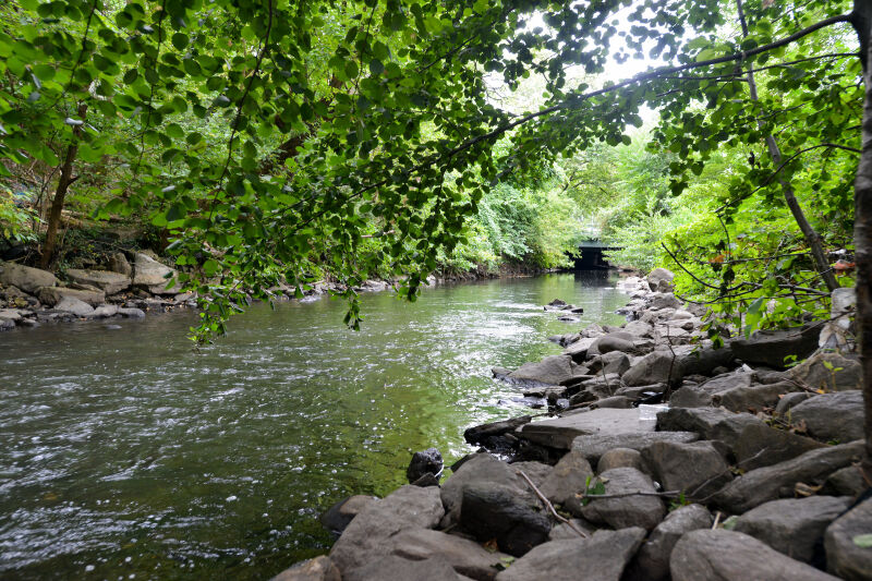
The West Farms community is one of many historic settlements along the Bronx River—the only freshwater river in New York City. Measuring 23 miles, this blue corridor has been central to the life of the Bronx since pre-colonial days. It winds its way from the heights of Westchester County to meet the East River at Hunts Point.
Called Aquehung (River of High Bluffs) by the Lenape Indians who fished and hunted along its banks, the Bronx River derives its name from Jonas Bronck (1600-1643). The Swedish sea captain settled the mainland in 1639 as the Bronx's first European resident. Fur trading attracted early European settlers to the Bronx River valley and the local economy grew through the 1600s and 1700s. Farming and cottage industries developed and flourished until the Revolutionary War, when the river became a shifting battle line between American Patriots and British Loyalists until 1783.
Show Disclaimer

Check out your park's Vital Signs
Clean & Safe
Green & Resilient
Empowered & Engaged Users
Share your feedback or learn more about how this park is part of a
Vital Park System![]()


%7Cutmcsr%3D(direct)%7Cutmcmd%3D(none)%3B%2B__utmv%3D87073244.-%3B)