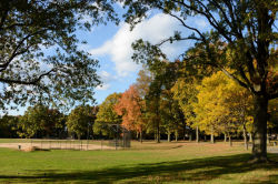
Alley Pond Park
Glaciers in New York City - Alley Pond Park
The land that makes up Alley Pond Park was acquired over the course of many years between 1927 and the present. The landscape itself, however, came into existence roughly 15,000 years ago, during the Pleistocene Epoch, when a passing glacier carved out the landscape of New York City.
The land beneath this park formed during the last ice age, which began around 1.5 million years ago. When the Earth’s climate began its dramatic cooling, huge masses of snow and ice formed in the arctic, sometimes two miles in thickness. The tremendous weight and pressure of the ice sheet caused the underlying snow to solidify, providing a surface on which glaciers could travel. During the Pleistocene Epoch, there were four glacial advances, the most recent being the Wisconsin ice sheet, which had the greatest impact on the land beneath New York City.
The Wisconsin ice sheet began its southward journey from the Arctic around 100,000 years ago, reaching what is now New York roughly 50,000 years later. By this time, it had lost some of its bulk, although it was still 300 feet thick and stretched from Massachusetts to Montana. As the glacier moved through this region, it deepened the bed of the Hudson River, carved out such geologic features as the Great Lakes and the Finger Lakes basins, and left its mark on the Adirondack mountains. The glacier also deposited tons of gravel and boulders, plowed up topsoil, and leveled the earth, filling in depressed areas with glacial till. In Alley Pond Park, boulders that were brought in by the glacier can be seen on the hillsides of the park’s southern end.
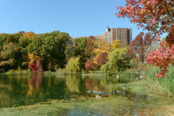
Even after the ice had ceased to advance, it continued to flow: its southern end was melting at the same rate that new snow was added in the north. Gravel and debris brought down from the north was deposited at the southern edge of the ice sheet, known as the terminal moraine. In New York City, the terminal moraine stretches from the southern end of Staten Island through Brooklyn and Queens and stands 500 feet tall in some areas. Without the terminal moraine, most of Long Island, including Queens and the park, would lie beneath the Atlantic Ocean, since the bedrock of Long Island is largely below sea level. The melting glacier also left buried chunks of ice that melted and formed the ponds dispersed throughout "the Alley," the 150-acre strip of wetlands in the north end of the park. Fresh water drains into the Alley from the hills and bubbles up from natural springs, mixing with the salt water from Little Neck Bay. As a result, the park is host to freshwater and saltwater wetlands, tidal flats, meadows, and forests, making for a diverse ecosystem and supporting abundant bird life.
Check out your park's Vital Signs
Clean & Safe
Green & Resilient
Empowered & Engaged Users
Share your feedback or learn more about how this park is part of a
Vital Park System

