Bayswater Park Hiking Trails
The Bayswater Park Blue Trail is roughly a ¼-mile long and passes along the shoreline of Jamaica Bay, linking the park to a trail in adjacent parkland managed by the NY State Department of Environmental Conservation.
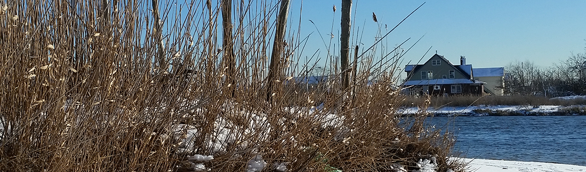
From the playground of Bayswater Park, follow the painted signs on the ground into the fields. Where the sidewalk ends, across the field a large wooden post marks the beginning of the trail. The first section of the trail moves west through a maritime forest headed out to the shore. Further down the trail, the woodland ends and you will enter an area of high shrubs with Jamaica Bay on your left. The trail hooks right and heads north on a sandy trail through a bayberry grove and emerges onto a beach overlooking the Bay. This is an excellent spot for birdwatching, and you will often see fiddler crabs here as well. The trail continues north passing back into a grove of high bayberry. The trail emerges from the bayberry in a wide grassy corridor. To the west is an additional overlook to Jamaica Bay. To the east, the trail continues until it ends at the ballfields. Directly north of this trail end is the entrance to an additional trail heading north through DEC land.
Interactive Map
![]() Blue Trail
Blue Trail
![]() Point of Interest
Point of Interest
Download the Bayswater Park Trail Guide.
Points of Interest
Beach Access and Overlook
A bayberry grove and emerges onto a beach overlooking the Bay. This is an excellent spot for birdwatching, and you will often see fiddler crabs here as well.
%7Cutmcsr%3D(direct)%7Cutmcmd%3D(none)%3B%2B__utmv%3D22879581.-%3B)