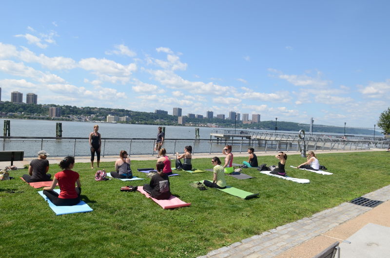
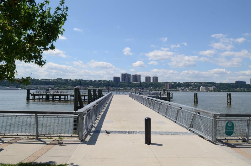
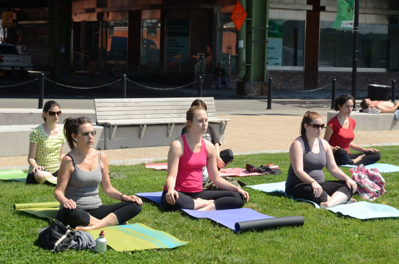
West Harlem Piers
Henry Hudson Pkwy. bet. St Clair Pl. and W. 135 St.
Manhattan
Directions via Google Maps
This text is part of Parks’ Historical Signs Project and can be found posted within the park.
The West Harlem Waterfront Park is a landscaped transformation of the historic Manhattanville shoreline. For thousands of years, the natural topography of this site formed a valley and small sheltered cove off the Hudson River, also known as the North River. This solitary break between the bluffs of today’s Morningside Heights and Washington Heights provided the only direct river access to the area’s earliest native residents as well as a convenient inroad to the area’s early 17th-century non-native arrivals.
Show Disclaimer
This map is designed to represent parks as they are used by the public. It should not be used to represent the legal boundaries of property under Parks jurisdiction. If you would like to view all City property under the jurisdiction of NYC Parks, please visit NYC OpenData.


Check out your park's Vital Signs
Clean & Safe
No recent capital investment.
Green & Resilient
101
Mapped Trees
No natural areas present at this site.
Empowered & Engaged Users
Share your feedback or learn more about how this park is part of a
Vital Park System![]()

Know Before You Go
This launch site is closed until restoration efforts are completed.


%7Cutmcsr%3D(direct)%7Cutmcmd%3D(none)%3B%2B__utmv%3D19611845.-%3B)