Wards Island Park
Wards Island Park
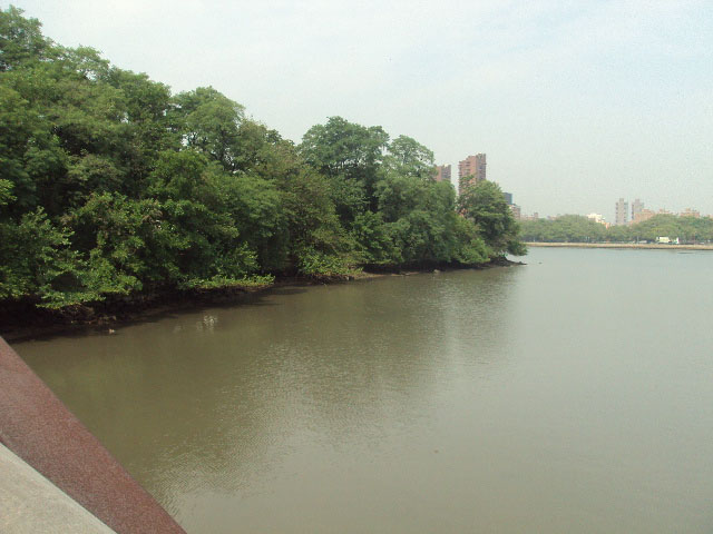
Wards Island Park is located on Wards Island, a 255-acre landmass lying in the northern end of the East River, between Manhattan and Queens.
Known as Tenkenas (Wild Lands) Island at the time of its appropriation from its native inhabitants to the Dutch in 1637, the island’s name has changed several times. Both Buchanan’s Island and Great Barn Island were likely corruptions of “Barendt,” an early owner’s name. Always sparsely populated, the strategically placed island was used as a British military post during the Revolutionary War. After the war ended in 1783, the brothers Jaspar and Bartholomew Ward took proprietorship of the island that would carry their name. Though houses had already been constructed on the island as early as the 17th century, the Wards made settlement on the island more attractive by opening a cotton mill and building the first bridge crossing the East River (connecting the island with Manhattan at 114th Street) in 1807.
After the War of 1812, the Wards’ cotton mill closed and in 1821 the bridge was destroyed in a brutal storm. The island lay largely abandoned until 1840, when overcrowded Manhattan sought convenient locations for almshouses, mental health facilities, and potter’s fields (graveyards for the poor). Hundreds of thousands of bodies were relocated to Wards Island from the Madison Square Park and Bryant Park potter’s fields. The State Emigrant Refuge, a hospital for sick and destitute immigrants, opened in 1847 and it was the biggest hospital complex in the world during the 1850s. The predominance of public works led the City to purchase Wards Island outright in 1851. Twelve years later, the New York City Asylum for the Insane opened on the island. From 1860 until the 1892 opening of Ellis Island, Wards Island along with Castle Clinton on Manhattan’s southern tip welcomed America’s newcomers at its immigration station. The New York State Department of Mental Hygiene took over the immigration and asylum buildings in 1899, opening Manhattan State Hospital. With 4,400 patients, it was the largest psychiatric institution in the world. It later became the Manhattan Psychiatric Center.
When the 1930 Metropolitan Conference of Parks recommended transforming Randall’s and Wards Islands into recreational parks, everything changed. Shortly after taking the office of Parks Commissioner in 1934, Robert Moses (1888-1981) announced his plans for developing Wards Island. The City would connect it to Randall’s Island, a 195-acre island at the convergence of the East and Harlem Rivers just to the north. The two islands joined by landfill were to be cleared for playing fields and promenades that would take advantage of the Mid-Manhattan skyline views. The City transferred the parcels of land designated for the new Wards Island Park to Parks in 1936 and 1939. However, the project that eventually altered the landscape of Wards Island forever was the construction of the Triborough Bridge.
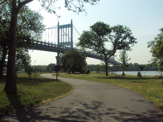
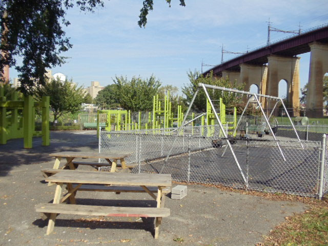
The T-shaped Triborough Bridge opened up the first roadway connecting Upper Manhattan with both The Bronx and Queens, with its massive concrete piles and steel towers rising straight out of Wards Island soil. Acting as Triborough Bridge Authority President, Robert Moses’s first great engineering project opened in 1936 after seven years of construction. Using 5,000 workers and 50 million dollars, it was largest public works venture in the City’s history. Other pubic works operating on Wards Island include the world’s highest capacity sewage treatment center, the Wards Island Water Pollution Control Plant. It was built in 1937 and currently occupies about one quarter of the island. In recent years, the Fire Department of New York has also used a part of the island as a training center.
A local law of 1949 authorized the construction of the 103rd Street footbridge, built by the U.S. Army Corps of Engineers in 1951, which finally accommodated pedestrian traffic from East Harlem. The footbridge leads directly into Wards Island Park and provides easy access to the playing fields, bicycle paths, and scenic waterfront. While the west coast faces Manhattan, the east side of the park overlooks Hell Gate, the narrow section of the East River between the island and Astoria, Queens. The Dutch word hellegat, meaning ‘hell's gate,’ originally applied to the whole East River. The name stuck in the minds of later 17th century navigators of this particular stretch of water because of its narrowness and tendency for violent tides.

Check out your park's Vital Signs
Clean & Safe
Green & Resilient
Empowered & Engaged Users
Share your feedback or learn more about how this park is part of a
Vital Park System![]()
 |


%7Cutmcsr%3D(direct)%7Cutmcmd%3D(none)%3B%2B__utmv%3D89675011.-%3B)