Spuyten Duyvil Shorefront Park
Spuyten Duyvil Shorefront Park
What was here before?
This was the property of Issac Gail Johnson, owner of the world-renowned Isaac G. Johnson & Co. Ironworks. It was established during the Civil War and it perfected the Delafield cannon. The Park is in view of the former site of the foundry, which bordered the Spuyten Duyvil Canal (upper Harlem River). In 1919, to facilitate ship traffic up the Hudson River, legislation was passed to straighten the Canal. The Ironworks was condemned, and the area reverted to a quiet, semi-rural village. To this day, several picturesque country houses still stand directly across from the north entrance to the park, on Edsall Avenue.
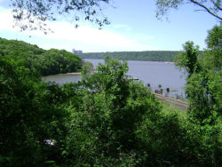
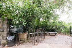
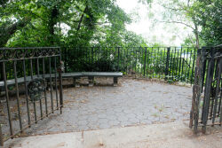
The Half Moon Overlook offers a view of where Henry Hudson’s “Haalve Moon” is reported to have moored his boat in 1609, before sailing up the Hudson in search of a sea route through North America to the Far East. The infamous politician William “Boss” Tweed (1823-1878) lived below the site of the Half Moon Overlook.
How did this site become a park?
The City of New York acquired this land as a public park in 1882 after condemnation proceedings.
As Parks Commissioner and President of the Henry Hudson Parkway Authority, Robert Moses sited the Henry Hudson Bridge’s northern structural column in this park. In 1935, construction began on what was to be the longest plate girder bridge in the world. The single level four-lane bridge spans the Harlem River, from cliffs on one side in Inwood (Manhattan) to high bluffs on the other side in Spuyten Duyvil (the Bronx), with a vertical clearance of 142.5 feet. The bridge opened to motorists with a toll of ten cents per crossing on December 12, 1936; the second level was added in 1938.
An instrumental junction in Moses’ West Side Improvement Plan, the Henry Hudson Bridge connected the West Side Highway with the Henry Hudson Parkway which, in turn, linked Manhattan to the United States mainland.
In 1965, in response to a building boom in Spuyten Duyvil, local residents protested the remapping of Edsall Avenue, which would have allowed for a 12-story high-rise in the park. In 1966, the Committee to Save Spuyten Duyvil submitted a proposal to the local Community Board to condemn the undeveloped area fronting the Harlem River, including several parcels owned by developers. In 1968, the Board of Estimate approved the mapping of four acres of the Park for use as a park site, expanding the park to seven acres.
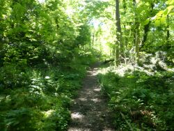
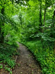
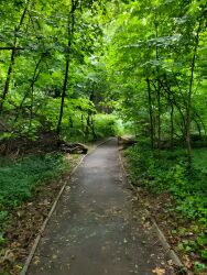
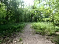
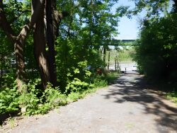
After much delay and opposition by developers, Spuyten Duyvil Shorefront Park was officially opened to the public in 1994 as an integrated park, with bucolic pathways and sweeping views to Inwood and the Palisades. The opening was attended by City officials, ending the battle to preserve this scenic site at the confluence of the Hudson and Harlem Rivers from repeated efforts by developers and later from illegal dumping.
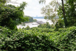
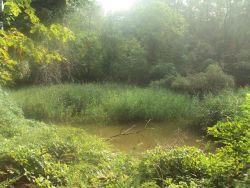
Many varieties of birds either breed by the pond or in the surrounding woods or stop here on their regular migration paths. The former Spuyten Duyvil Canal is now popularly known as the Spuyten Duyvil Creek. It provides parkgoers with access to one of the most beautiful scenic vistas in the City, framed by the arches of the Henry Hudson Bridge.
Check out your park's Vital Signs
Clean & Safe
Green & Resilient
Empowered & Engaged Users
Share your feedback or learn more about how this park is part of a
Vital Park System

