Nearby Seeley Street was laid out in the 1850s as part of the village of Windsor Terrace. Though the street first appears on Brooklyn maps in 1867, the origin of its name is uncertain.
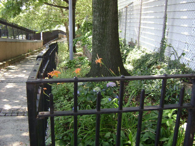
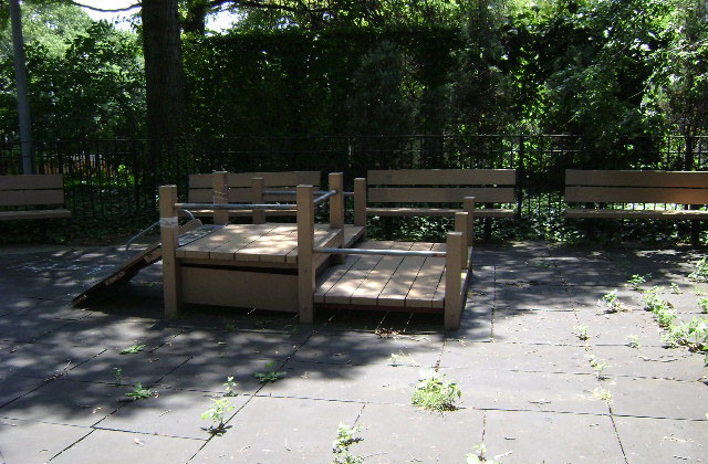
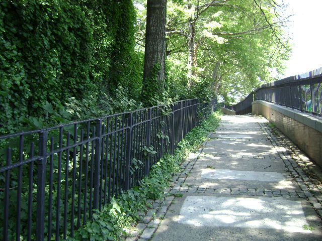
Seeley park, located on the west side of the Prospect Expressway between Seeley and Vanderbilt Streets, is one of ten parks created in connection with the construction of the Prospect Expressway. Built between 1953 and 1962 to link central Brooklyn with I-278 and the Brooklyn-Battery Tunnel, the Prospect Expressway extends southwest from the Gowanus Expressway at Third Avenue, and runs between Prospect Park and Greenwood Cemetery, ending at the intersection of Fort Hamilton and Ocean Parkways. The City acquired this site in 1953 as part of 2.3 miles in land condemnations.
Show Disclaimer
Facilities

Highlights

Check out your park's Vital Signs
Clean & Safe
Green & Resilient
Empowered & Engaged Users
Share your feedback or learn more about how this park is part of a
Vital Park System![]()
 |
%7Cutmcsr%3D(direct)%7Cutmcmd%3D(none)%3B%2B__utmv%3D31088974.-%3B)