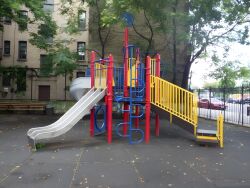
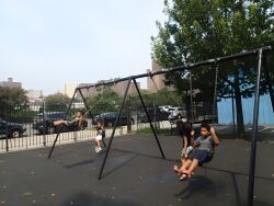
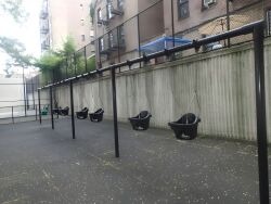
Riverbend Playground
Bailey Ave. bet. W. Kingsbridge Rd. and W. 193 St.
Bronx
Directions via Google Maps
Riverbend Playground is located in Kingsbridge Heights, near the bend of the Harlem River, where it skirts the northern tip of Manhattan. This “riverbend” is actually the juncture where the river meets the Harlem River Ship Canal. The canal, completed in 1923, was built to expedite the shipping route from the Long Island Sound to the Hudson River, cutting 14 miles off the inconvenient path around the southern tip of Manhattan.
Before the canal, the only link between the Hudson and Harlem Rivers was the un-navigable Spuyten Duyvil Creek. The creek, a .5 mile tidal strait, was notorious for it’s rough waters, caused by the double tides of the two rivers it connected. It’s name comes the phrase spuit den duyvil, Dutch for “in spite of the devil.” The creek, which became the line dividing New York and Bronx Counties, ran to the north of the Marble Hill neighborhood.
Show Disclaimer
Highlights
Check out your park's Vital Signs
Clean & Safe
Green & Resilient
Empowered & Engaged Users
Share your feedback or learn more about how this park is part of a
Vital Park System


