Richmond Terrace Park
Richmond Terrace Park
What was here before?
This site located on Richmond Terrace between Van Pelt and Van Name Avenues is in Staten Island’s Mariner’s Harbor on the North Shore. The town was known for its oyster harvesting in the 1800s. The subsequent maritime and manufacturing industry exploded along the waterfront and prevented residents’ access to the shoreline. This small piece of forested land was the exception and used as a local beachfront and picnic area at the turn of the 20th century.
How did this site become a park?
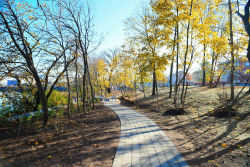
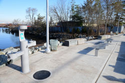
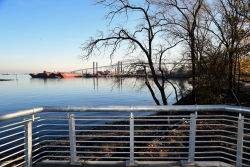
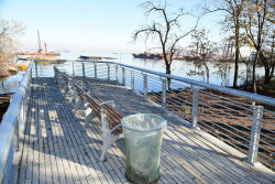
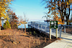
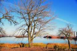
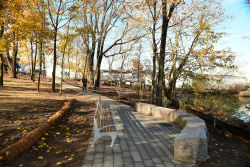
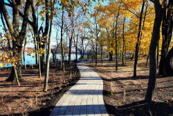
This undeveloped, often overlooked waterfront site was transferred to NYC Parks in 2010. The park opened in 2019 and links the neighborhood to the water with a pedestrian-friendly streetscape, woodland path, gathering terrace, and overlook pier that offers views of the Kill Van Kull and entrance to Newark Bay. Historical maps of Staten Island’s North Shore that provide a glimpse into the evolution of the waterway are installed throughout the property. The park design won an NYC Public Design Commission award in 2016 for enhancing the existing shoreline ecosystem and providing the community with gathering and environmental education spaces.
What is this park named for?
This park is named for the street that extends along its southern border. Richmond Terrace begins at Staten Island’s Borough Hall and ends at the Arthur Kill where a former ferry terminal brought passengers to New Jersey. The road, and many other features in Staten Island, take its name from the Duke of Richmond. In the 1600s, the English seized the city for the King of England and renamed the island, known under Dutch rule as Staaten Eylandt, Richmond County after the son of King Charles II.
Check out your park's Vital Signs
Clean & Safe
Green & Resilient
Empowered & Engaged Users
Share your feedback or learn more about how this park is part of a
Vital Park System

