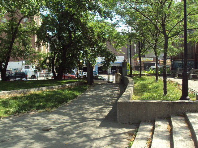
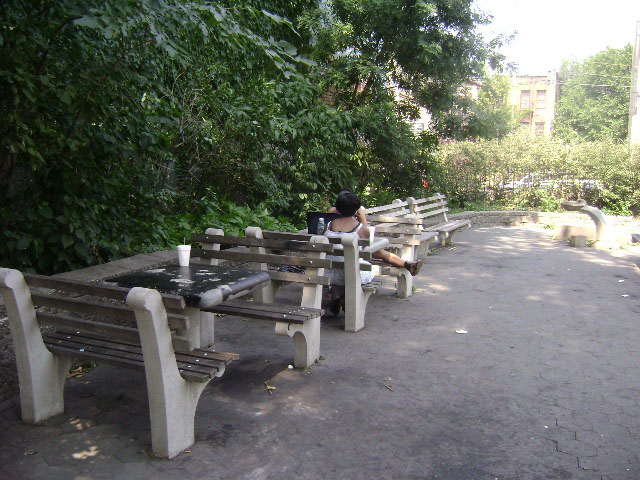
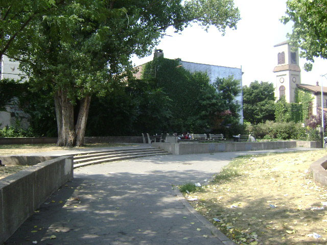
Unity Park is named for the community group that once owned the property, Unity Place Incorporated.
East 167th Street in the Bronx, formerly called 5th Street in old Morrisania, was a popular shopping area in the 1880s, particularly among the local German population. Parts of it were named James Street and Lyons Street after prior landowners in the area. East 168th Street was divided into three separate areas through the 19th century. A western segment of East 168th Street was called Charles Place, after Charles Arcularius, a 19th century hotel keeper, an eastern street was known as 6th Street in the village of Morrisania, and between them was William Morris’s former estate.
Show Disclaimer

Check out your park's Vital Signs
Clean & Safe
Green & Resilient
Empowered & Engaged Users
Share your feedback or learn more about how this park is part of a
Vital Park System![]()
 |
%7Cutmcsr%3D(direct)%7Cutmcmd%3D(none)%3B%2B__utmv%3D85804111.-%3B)