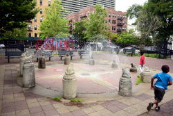
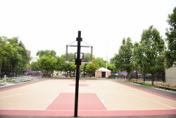
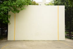
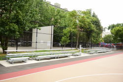
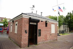
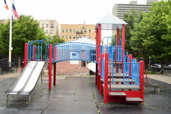
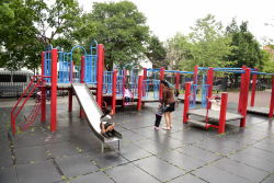
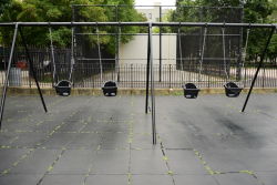
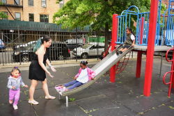
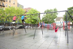
Half Nelson Playground is located between Nelson and Woodycrest Avenues, south of West 166th Street, in the Highbridge section of the Bronx. The neighborhood abounds with place names that originated with Native Americans, colonial-era settlers, and 19th century engineers, farmers, and estate owners.
The Weckquaesgeek Indians formerly inhabited the area and called it Nuasin. This word is translated as “middle place” or “the land between” the Harlem River and Cromwell’s Creek. The Weckquaesgeeks called the Harlem River the Muscoota, which means “River among the green sedge” (grassy plants which have solid stems). Cromwell’s Creek, formerly known by the Indian name Mentipathe, flowed into the Harlem River near where Yankee Stadium is located, after following a course along what are now River and Jerome Avenues. Local colonists renamed this creek for James Cromwell, who owned a mill on the water.
Show Disclaimer
Check out your park's Vital Signs
Clean & Safe
Green & Resilient
Empowered & Engaged Users
Share your feedback or learn more about how this park is part of a
Vital Park System


