Midland Field
Midland Field
What was here before?
This property, located “mid-island” on the eastern shore, was owned by the prominent Egbert family. Covert Egbert is believed to have settled on Staten Island in 1660. Covert’s descendant Jacobus and his wife, Catharina Dey Egbert, had son Teunis Egbert, whose son John Egbert was born in 1751. John, a farmer and weaver, owned much of the area around the intersection of Richmond Road and Rockland Avenue, now known as Egbertville. By the 1800s, John inherited this piece of property as well. His great-grandson George Ebgert, a prominent Staten Island educator, later became the namesake of the middle school that borders this park.
In the late 19th century, many of Staten Island’s beaches became fashionable and provided relief from the crowding and close development of Manhattan and Brooklyn. Midland Beach’s resort area opened on August 29, 1896. The Midland Terminal Company, which developed the resort, was a subsidiary of a trolley organization, and the growth of the recreation facilities was thus inextricably tied to the growth of trolley service in the area. Over the next few decades, Midland Beach’s popularity grew, and the area continued to expand.
By 1917, however, worsening economic conditions and disastrous fires took their toll on nearby resorts, and the area began to decline. At this time, the City of New York owned this and properties across the street where a pumping station had been built in 1913. Subsequent efforts to revive the beach through a Works Progress Administration project during the Great Depression (1929-1940) were frustrated by further fires and new water pollution.
While residences and businesses developed eastward towards the beach, this property remained sparse, with only a handful of one-story bungalows by 1951. The Midland Beach Promenade opened in 1958 as an extension of the nearby Franklin D. Roosevelt Boardwalk. This project, and the opening of the Verrazano-Narrows Bridge in 1964, spurred population and housing growth in the neighborhood.
How did this site become a park?
This site was acquired in two pieces. The Board of Estimate (a now defunct municipal body) assigned the first parcel, part of the school site for I.S. 2, the George Egbert School, to the Board of Education in 1959 for the creation of a Jointly Operated Playground (JOP) serving I.S. 2 and the local community. Beginning in 1938, the Board of Education (now the Department of Education) agreed to provide land next to schools where NYC Parks could build and maintain playgrounds that could be used by the school during the day and by the public when school is not in session The site’s border was extended when the adjoining lots became parkland in 1962.
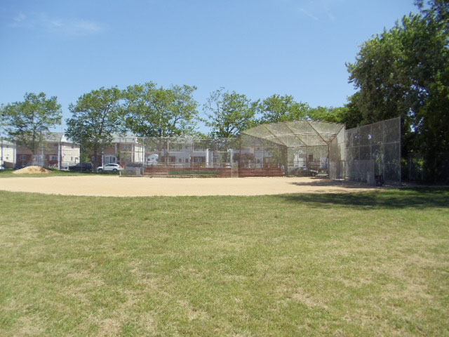
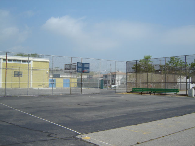
The park includes baseball fields, basketball and handball courts, a track, and public restroom. Originally known as J.H.S. 2 Playground, the site was renamed Midland Field, after the surrounding community, in 1985.

Check out your park's Vital Signs
Clean & Safe
Green & Resilient
Empowered & Engaged Users
Share your feedback or learn more about how this park is part of a
Vital Park System![]()
 |
%7Cutmcsr%3D(direct)%7Cutmcmd%3D(none)%3B%2B__utmv%3D67003193.-%3B)