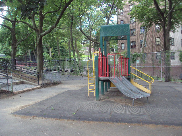
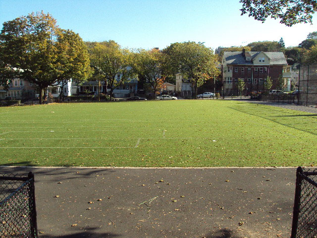
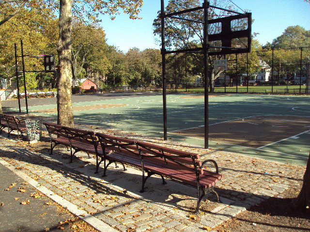
Mahoney Playground
Beechwood Ave., Crescent Ave. and Jersey St.
Staten Island
Directions via Google Maps
What was here before?
This park is in the St. George neighborhood of Staten Island, directly bordering New Brighton to the west. Originally inhabited by the Lenape, the area remained largely rural into the 19th century. This area gradually became residential in response to the burgeoning industrial development along the nearby waterfront. The borough’s civic center is located just east of this playground. This site was once occupied by several one- and two- story frame houses and a series of row homes, as well as the remains of foundations of several former dwellings.
Show Disclaimer


Highlights

Check out your park's Vital Signs
Clean & Safe
Green & Resilient
Empowered & Engaged Users
Share your feedback or learn more about how this park is part of a
Vital Park System![]()
 |

%7Cutmcsr%3D(direct)%7Cutmcmd%3D(none)%3B%2B__utmv%3D54299353.-%3B)