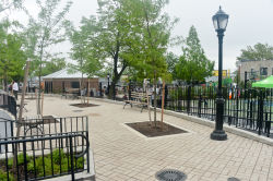
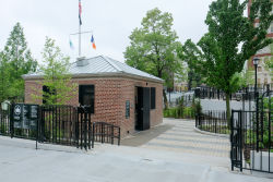
Hunts Point Playground, located in the neighborhood of the same name in the southwest Bronx, is named for Thomas Hunt, one of the first settlers to occupy the area in the 1670s. One can easily observe the point, protruding out into the East River, on any map of the Bronx. In 1874, New York City, which at the time included only Manhattan, began to annex sections of the Bronx. Hunts Point, originally part of West Farms in what was then lower Westchester County, became the newest part of New York City. The area underwent significant growth and development after the IRT subway line to Manhattan was built in 1904. Hunts Point is famous for the Hunts Point Terminal Market, the largest wholesale produce market in the United States.
Show Disclaimer
Check out your park's Vital Signs
Clean & Safe
Green & Resilient
Empowered & Engaged Users
Share your feedback or learn more about how this park is part of a
Vital Park System


