Hoyt Playground
Hoyt Playground
Hoyt Playground, as with the adjacent avenue, is named for Edwin Hoyt, a businessman who lived in Astoria in the 1800s. Edwin Hoyt (d. 1874) was the millionaire senior partner in Hoyt, Sprague, and Co., a dry goods business (clothing, textiles, and similar trade items), with Governor William Sprague of Rhode Island. Hoyt’s son, Edwin Chase Hoyt, and Governor Sprague’s son both married daughters of Salmon P. Chase, Secretary of the Treasury under President Abraham Lincoln, and later Chief Justice of the Supreme Court. When Hoyt died on May 15, 1874, at the age of 70, all prominent dry goods businessmen kept their doors closed on the morning of his funeral out of respect for the deceased. He was buried in the Green-Wood Cemetery, between Fifth Avenue and Fort Hamilton Avenue, north of 37th Street in Brooklyn. The Hoyt mansion, located on Shore Road midway between 24th and 25th Avenues, was used as a summer home. After being rented during the 1890s, the 2½ story house was destroyed by fire sometime before 1903.
Hoyt Playground is bounded by 29th and 31st Streets and Hoyt Avenue North. Hoyt Avenue was originally known as Linden Street, for the local Linden Brook which still runs through Astoria. It was then named Astoria Park South until it was changed to Hoyt Avenue by a local law on December 6, 1964. The city originally acquired the land for Astoria Park in 1904. In 1930, the street layout was rearranged, and today Hoyt Avenue serves as a Triborough Bridge approach.
Designed by architect Aymar Embury II and engineer Othmar H. Ammann, the Triborough Bridge construction began on October 29, 1929. When the stock market crashed, construction on the bridge stopped until 1933 when the Triborough Bridge Authority was created as an alternate funding source by Robert Moses, then the chairman of the New York State Emergency Public Works Commission. The Triborough Bridge opened to the public on July 11, 1936, and in the first year 9.65 million vehicles passed over it. The playground site was apportioned on December 23, 1936, for bridge and parks purposes by a local law. Parks obtained jurisdiction on May 7, 1937.
Astoria, located in northwestern Queens, is the part of Long Island City that lies to the north of Broadway. The area was known as Hallet’s Cove in the eighteenth century until it was developed in 1839 by Stephen A. Halsey, a fur merchant who petitioned the state legislature to name it after the prominent fur trader John Jacob Astor. The residents agreed to change the name in the hopes that Astor would donate money to the village’s young ladies’ seminary. He eventually sent $500.00. On May 4, 1870, Astoria and several other Queens neighborhoods, including Hunter’s Point, Steinway, Blissville, Dutch Kills, Bowery Bay and Ravenswood consolidated to form a single entity. Officials debated a name for the new union, and finally agreed on Long Island City, after the newspaper that had started operation there in 1865, the Long Island City Star.
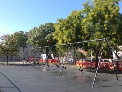
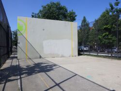
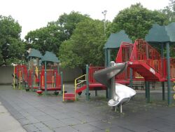
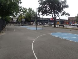
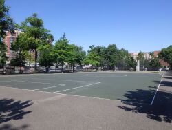
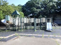
Hoyt Playground currently holds basketball and handball courts, swings for tots and older children, play equipment with safety surfacing, drinking fountains, a flagpole with a yardarm, sitting areas with benches, camel and elephant play sculptures, and game tables. With all these amenities, Hoyt Playground is well-equipped to serve the needs of visitors of all ages.
Check out your park's Vital Signs
Clean & Safe
Green & Resilient
Empowered & Engaged Users
Share your feedback or learn more about how this park is part of a
Vital Park System

